


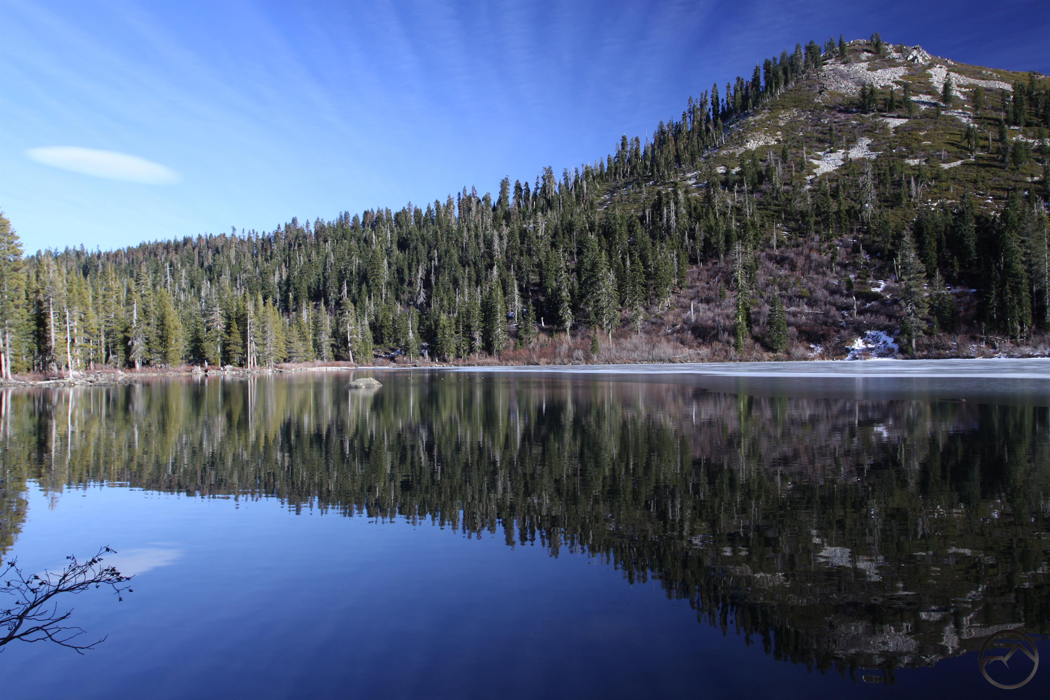
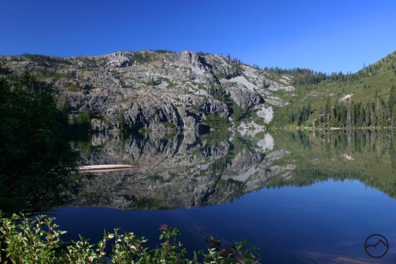
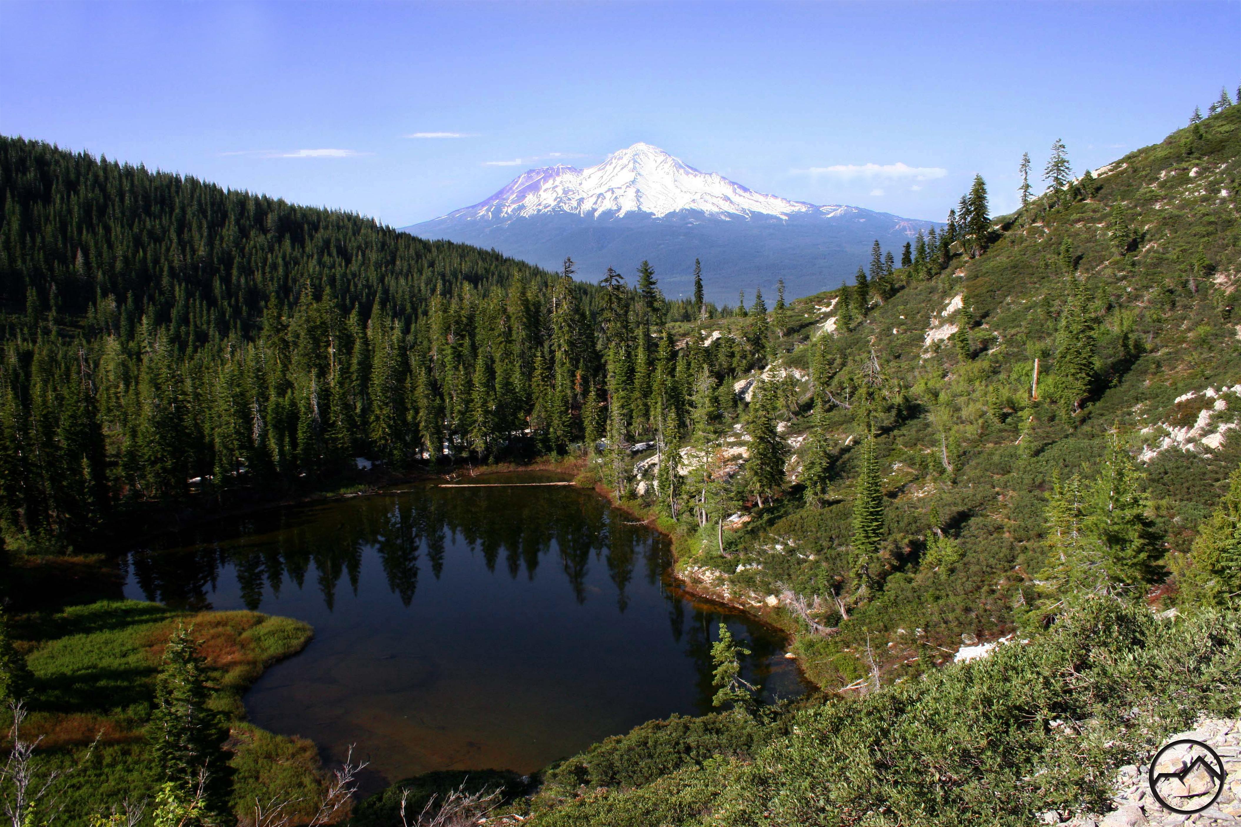
Castle Shore Trail – Eddy Mountain Range
The Castle Lake Shore Trail begins through brush and rocks as it goes around a little part of the lake. The trailhead is at the north end of the parking lot and past the trailhead a bit there is a ranger cabin. There is a small grassy area just off the trail that is flooded when the water level is very high. As the water goes down it creates a small pond and then the grassy clearing. After the clearing the Castle Lake Shore Trail eventually goes along the lake and runs parallel with the shore as lodgepole pines line the trail.
Category: Medium
Distance: 2 miles
Elevation Gain: 1,200 feet
Route Type: Out and Back
Directions: From the town of Mt. Shasta, head west on W. Lake, crossing over I-5. At the stop sign, turn left onto Old Stage Road. After 0.25 miles, veer right onto WA Barr Road. Continue south, crossing over the dam that impounds the Sacramento River and forms Lake Siskiyou. Just past the dam, make a left hand turn onto Castle Lake Road which climbs for 7 miles to the roads end at Castle Lake.
Highlights: Beautiful views of Castle Lake, gorgeous forestry
Photo Credit: Hike Mt. Shasta – Castle Lake Shore Trail (Bubba Suess)
