


Dog Trail
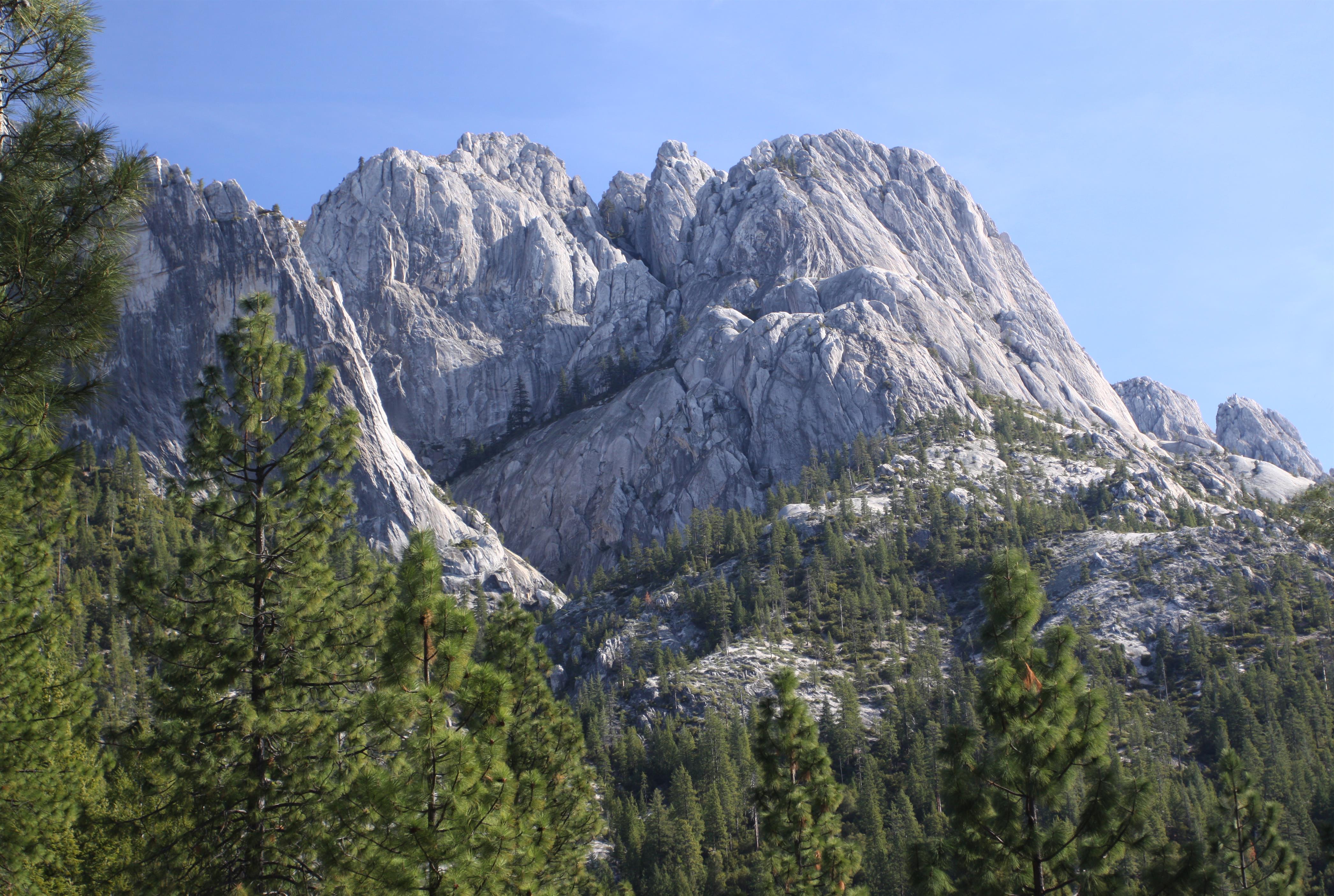
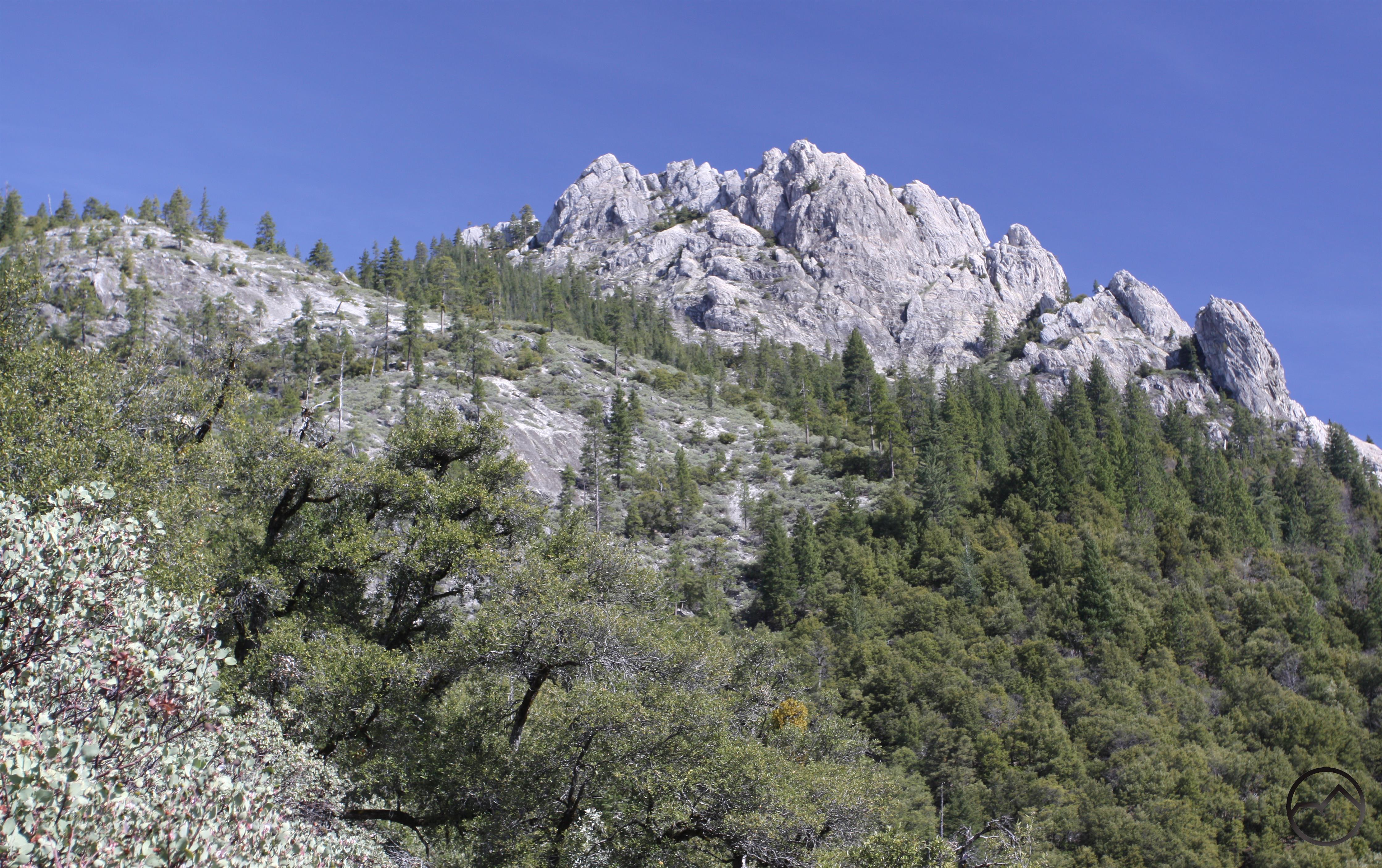
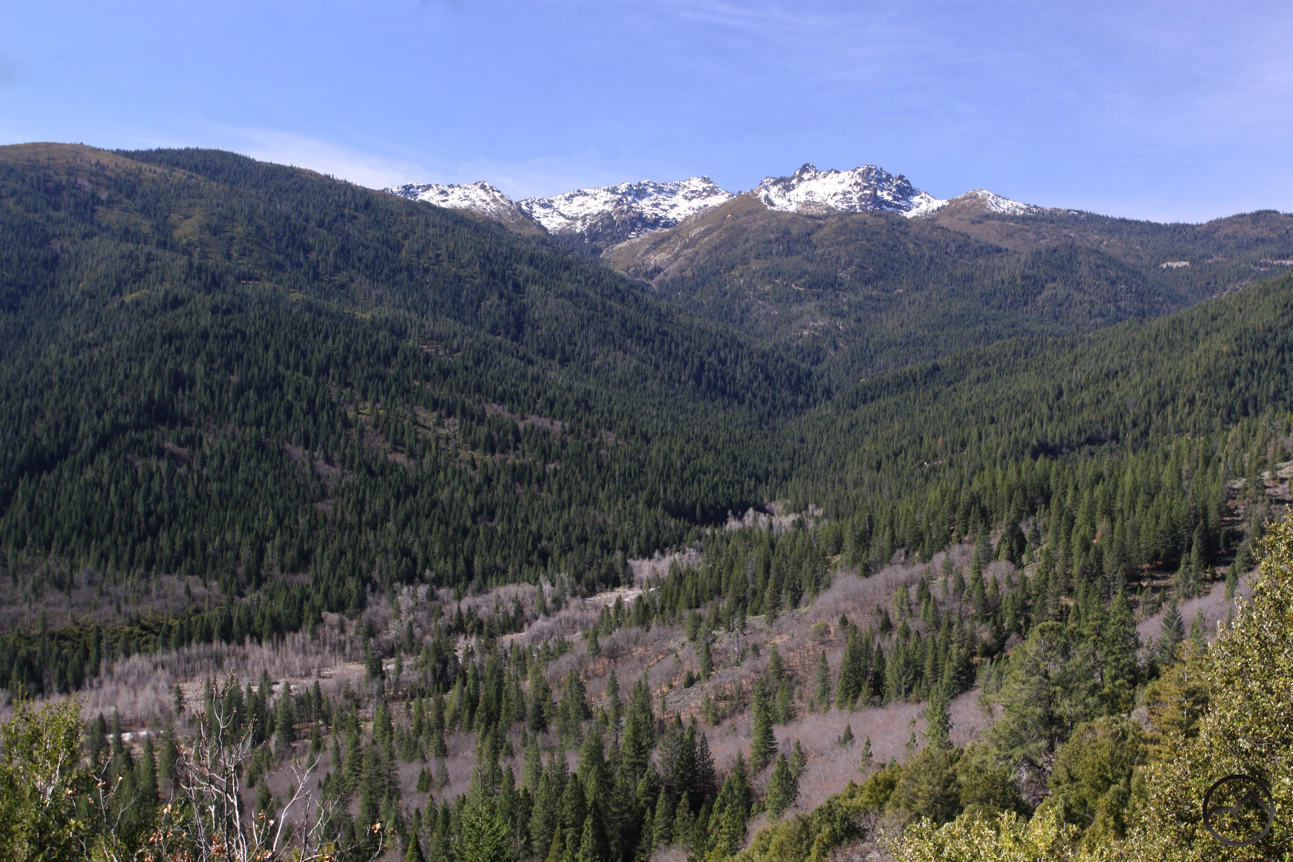
A long traverse of the lower section of the stunning Castle Crags on the Pacific Crest Trail. Though it does not travel through the high granite towers that the Crags are known for, this section of the PCT offers great views of the Castle Crags as well as surrounding peaks like the Grey Rocks. Numerous creek crossings also add to the great scenery.
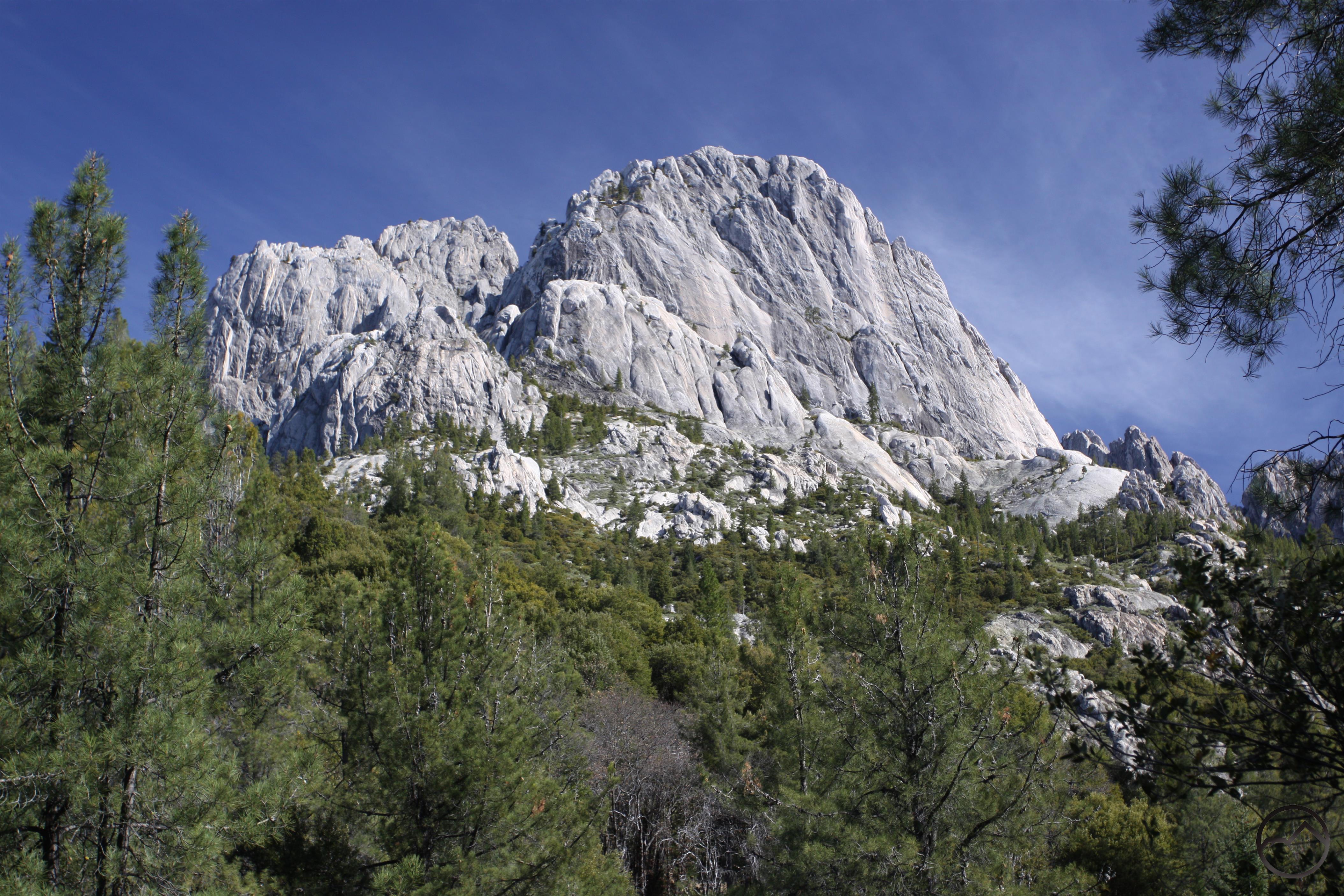
The Dog trailhead is located at an old quarry. The east half of the parking clearing is often used as a firing range, so be sure to park on the west side if possible. The Dog Trail connects to the PCT in 0.5 miles. It is so named because people hiking the Pacific Crest Trail in the company of dogs use it. To the east of the Dog Trail, the PCT passes through Castle Crags State Park, which does not allow dogs on its trails. The Dog Trail thus provides a bypass through the park. Unfortunately it also bypasses a lot of great scenery. Although the trail climbs at a moderately steep grade (nearly 600 feet in 0.5 miles) this is the steepest part of the entire journey. Initially open and climbing an old road, the trail eventually swings to the east as it passes beneath the forest canopy. Watch for a pile of rough hewn timbers just above the trail. This is the remains of an old mine. The original road that the Dog Trail now follows was constructed to access this mine. When the trail intersects the PCT, head right, to the east. Immediately after the junction the trail rounds a corner and reveals a spectacular view of Battle Mountain, one of the largest towers in the Castle Crags. The trail then reenters the forest canopy and makes a descent down to Sulphur Creek.
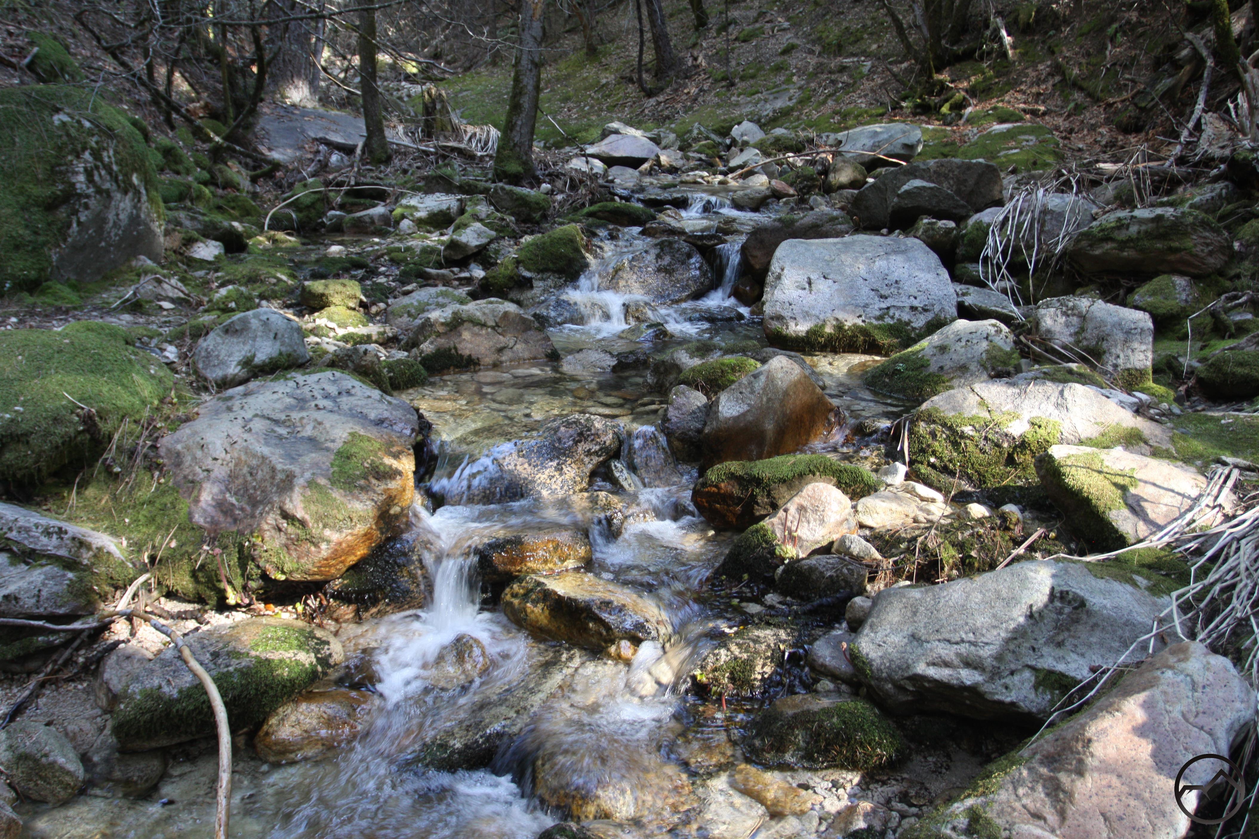
Though the creek is quite scenic it lacks much of the sulfuric odor for which it is named. The smell is quite evident from Castle Creek Road, further downstream. As the path climbs away from the creek crossing be alert for a well-established path coming up the creek’s canyon and continuing northward into the crags. This is a popular rock climber’s route into the heart of the Castle Crags. As the trail makes a gradual ascent it crosses the east fork of Sulphur Creek. This is also a very scenic stream. Near the top of the long grade the PCT arrives at a junction with the Flume Trail. This trail begins at Castle Crags State Park. After making its way across the valley bottom the trail steepens and makes its way up to a pair of junctions with the PCT. This is the first of the two intersections. A short distance further the trail begins to descend into another creek drainage, blessing hikers with yet another incredible view of sheer face of Battle Mountain. Soon the trail arrives at small Dump Creek. Despite its small size, the creek has numerous scenic cascades and clear pools. This is a good example of why this trail is best hiked in the spring, when small waterways such as Dump Creek are flush with rainwater and snowmelt.
Unlike the State Park, dogs are allowed in the adjacent Castle Crags Wilderness Area.
Category: Medium
Distance: 6.75 miles
Elevation Gain: 1,575 feet
Route Type: Out and Back
Directions:From I-5, take the Castella exit. Head west on Castle Creek Road for 3.3 miles. Turn right into the clearing that serves as a parking area. A PCT sign marks the parking area.
Highlights: Great views of Castle Crags
