


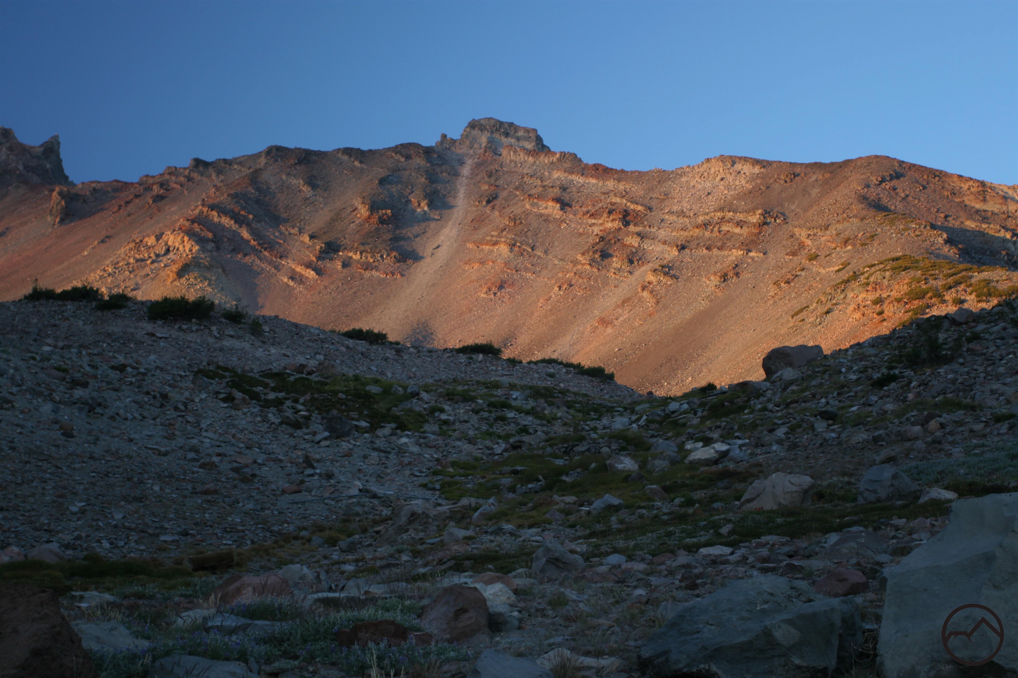
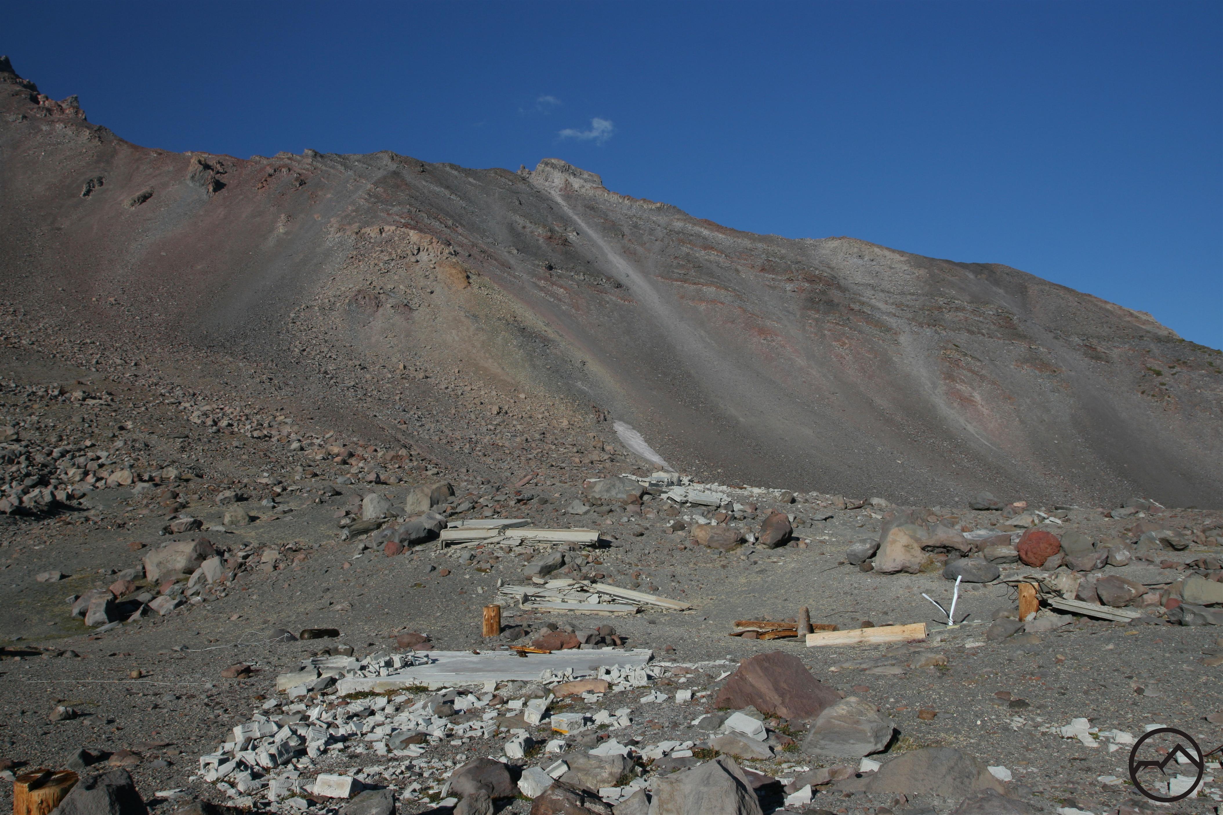
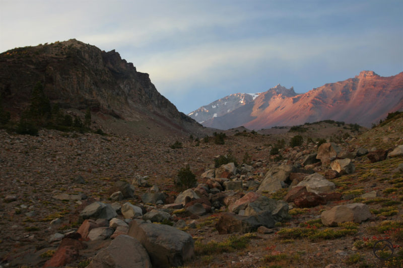
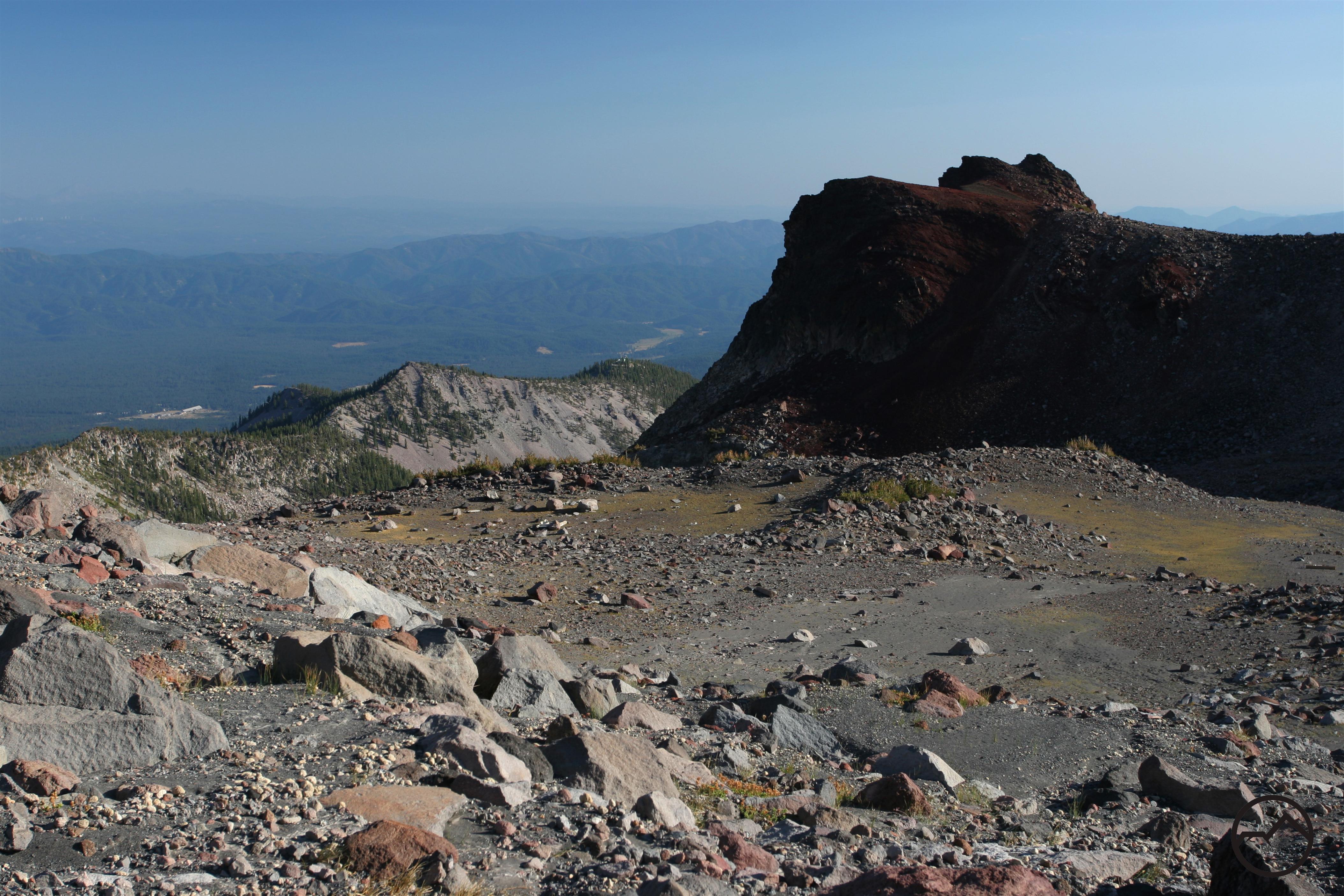
Old Ski Bowl Trail
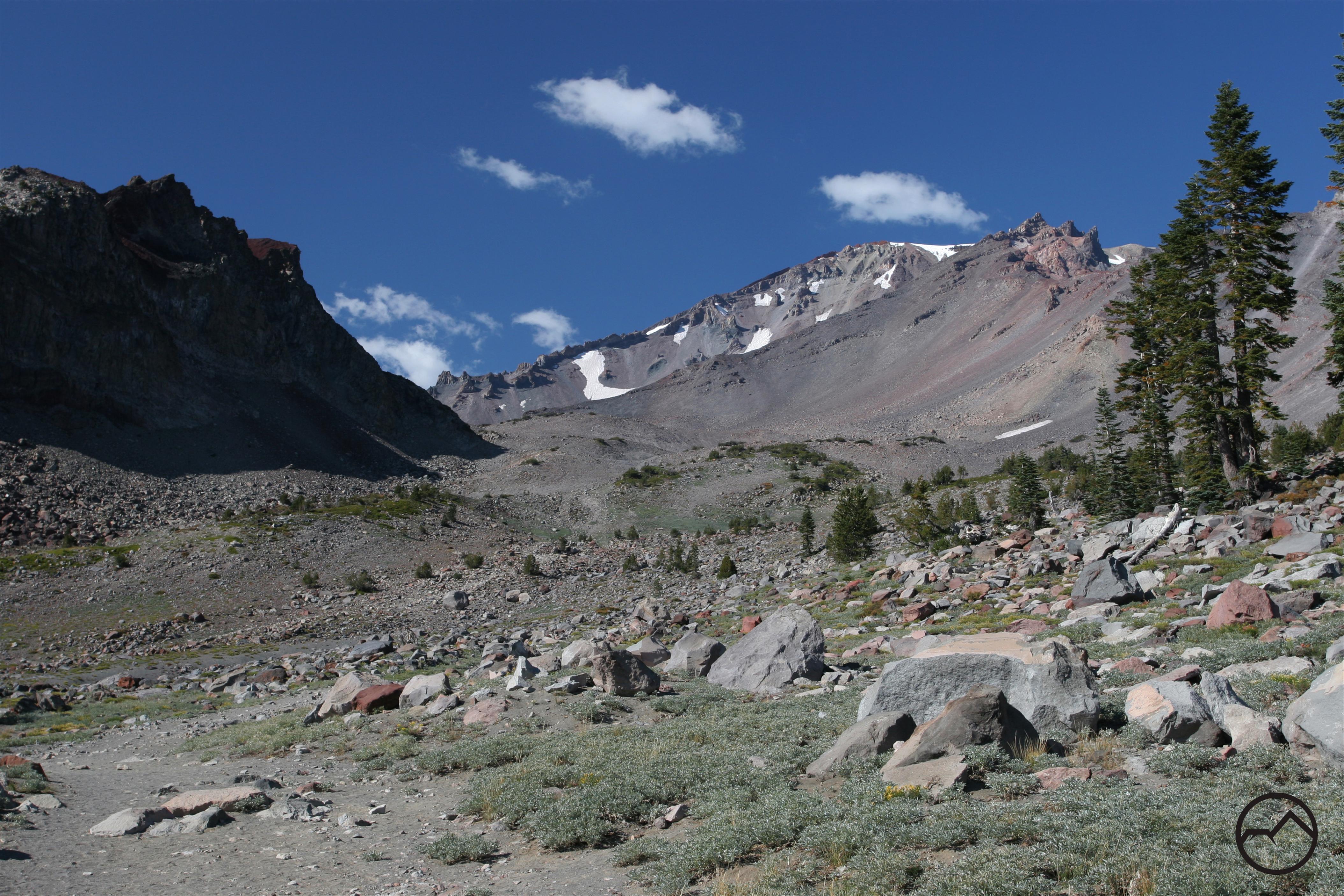
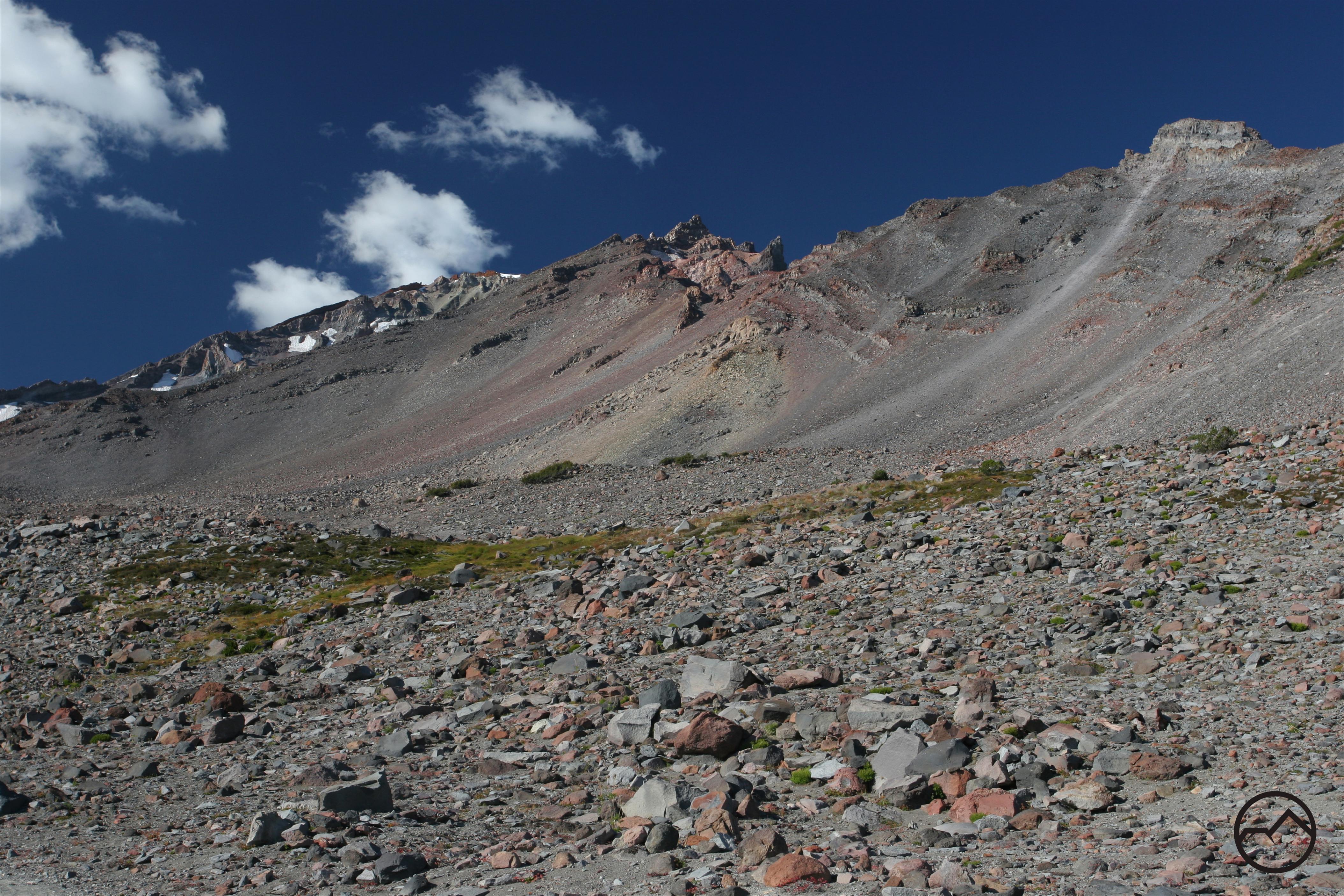
Mount Shasta Ski Bowl opened in 1958 and in 1978 an avalanche took out the lifts leaving it no longer operating, but it is still an amazing place to visit. The 14-mile Everett Memorial Highway from Mount Shasta City ends at Mount Shasta Ski Bowl. Summer visitors are greeted with breathtaking views and even during a bad winter, snow is seen at these altitudes. Dogs are allowed anywhere within the Old Ski Bowl as well as the multiple trails and old service roads are available to hikers and their dogs. The most popular trail is a 2.5 mile round trip hike to Green Butte offering amazing views of Castle Crags, Trinity Alps, Cascades and Lassen Peak.
Note that some of the roads leading up to the trailhead may be closed for the winter season.
Category: Medium
Distance: 3.4 miles
Elevation Gain: 879 feet
Route Type: Out & Back
Directions: From 1-5 N, take exit 738 toward Central Mt. Shasta. Turn right onto W Lake St. (signs for Central Mt. Shasta). Continue straight to stay on W Lake St. Take a slight left onto N Washington Drive and then continue straight onto County Hwy A10/N Washington Drive. After 13.9 miles, take a slight right onto Everitt Memorial Hwy. Trailhead will be on the right.
Highlights: Hike through an old ski route, stunning views of Mt. Shasta
Photo Credit: Hike Mt. Shasta – Old Ski Bowl Trail (Bubba Suess)
