


Sisson-Callahan National Recreation Trail
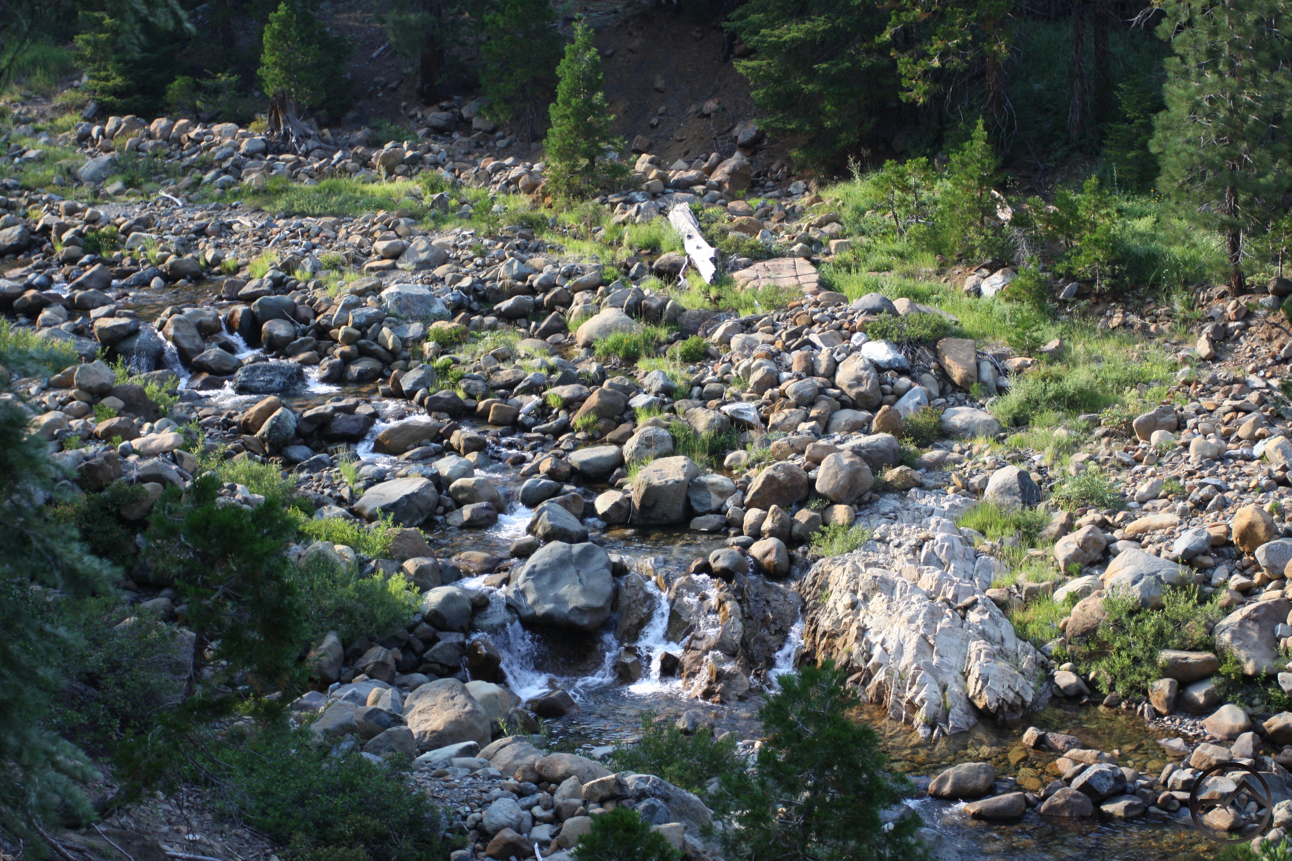
The lower portion of the historic Sisson-Callahan The trail is single track with steep drop offs on the river canyon and extended rocky sections with cobbled rock and small boulders. While most of the trail is challenging, some sections are packed pine needles and less difficult. There are no major intersections off the trail. Halfway down you come to an old road. Climb up for about 150 feet and watch for the trail to continue on your left. The end of the trail also becomes an old road.
Category: Medium
Distance and Elevation Gain: Total descent is 5000 ft in 10 miles.
Directions
The Upper portion of the Sisson Callahan Trail can be accessed at the Deadfall Meadows Trailhead located on Forest Road 17. From Mt Shasta City, drive north on Interstate 5 through the town of Weed and exit at Edgewood/Stewart Springs Rd. Turn left, drive under the freeway, then right on Old Stage/Old 99. Turn left on to Stewart Springs Road, after 4 miles Forest Road 17 splits off to the right. Follow the road to the summit and then about a mile down the other side to Deadfall Meadows Trailhead.
Trail
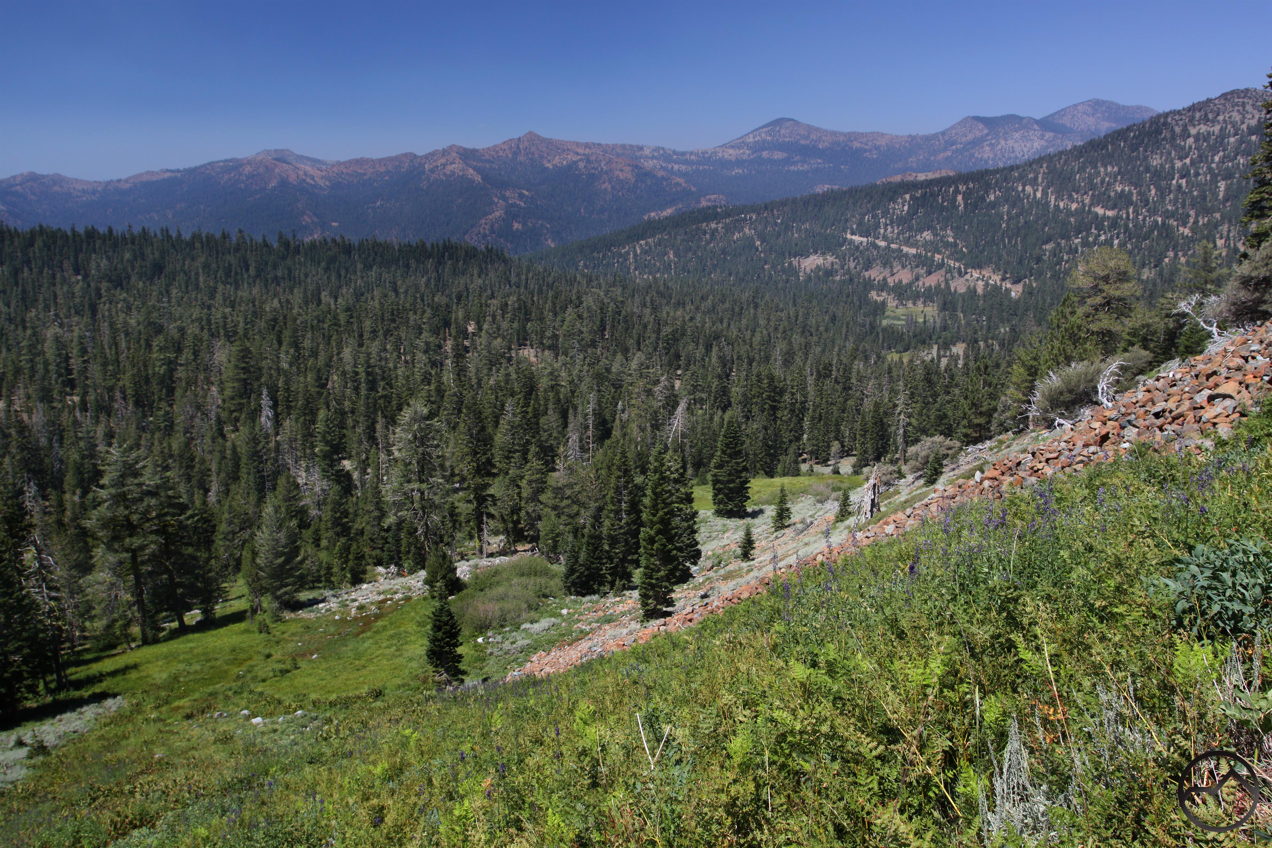
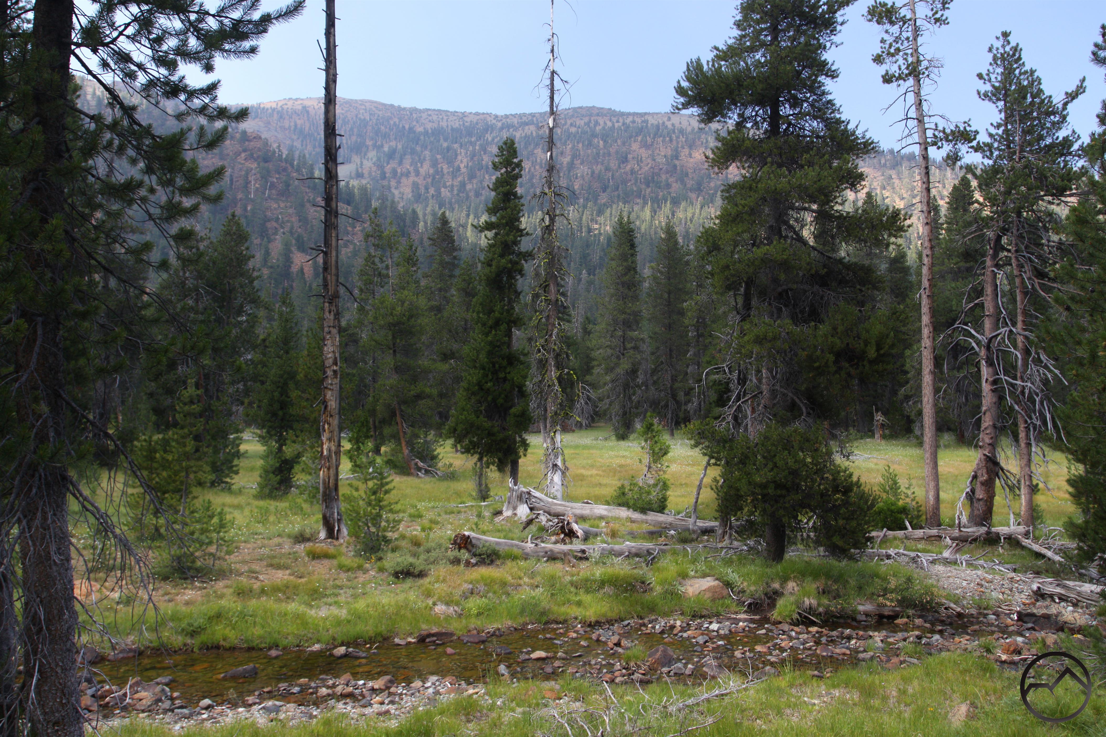
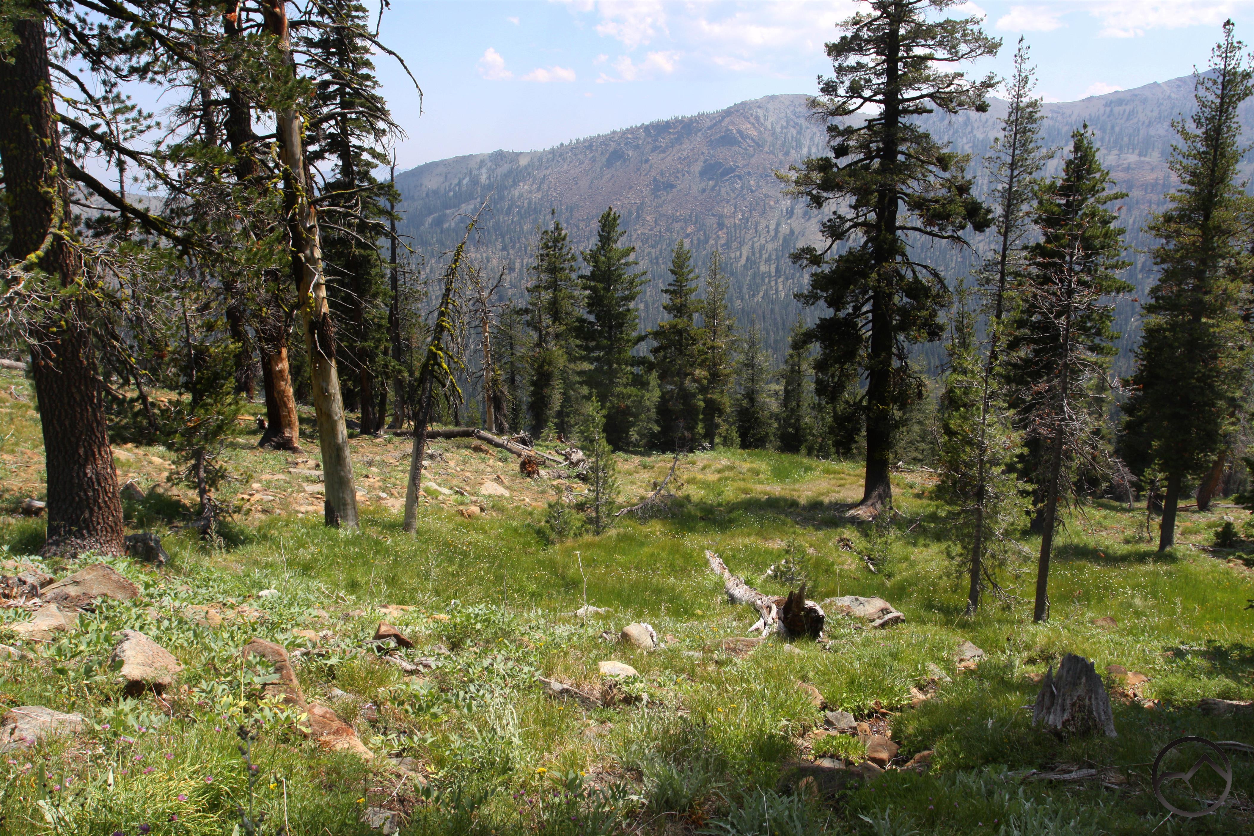
For the first mile and a half, the SCT winds its way up through Deadfall Meadows crossing the creek multiple times, then crosses the PCT trail and heads up to the Upper Deadfall Lakes. Right after crossing the PCT, one can take a short side trip to Lower and Middle Deadfall Lakes. For mountain biking this section is about 60% riding and 40% hike a bike. The next mile and a half of the trail takes you up past both Upper Deadfall Lakes and arrives at a saddle and a junction to either hike to Mount Eddy or continue down the SCT. This section is about 50% ridable and 50% hike a bike. The total ascent is 1800 ft of climbing in just under 3 miles. On the descent, the trail switchbacks its way down to the North Fork of the Sacramento River which it then follows for most of the way down. This section offers multiple stream crossings, rock gardens, flowy single track, and beautiful meadow scenery. During the descent, the trail sometimes hits a forest service road. Stay on right on the roads and you will eventually see the trail to the left. After approximately 10 miles riders will come to a flat opening with the North Fork of the Sacramento River on the left and the main stem of the Sacramento River in front of them. Riders can then cross the river to the left and follow the road down to the North Shore of Lake Siskiyou making sure to stay right at intersections. Total descent is 5000 ft in 10 miles.
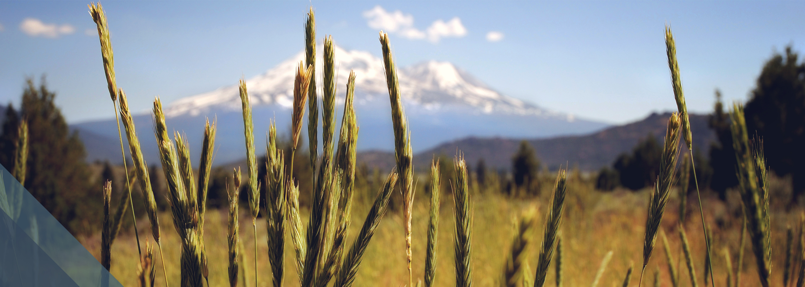
Photo Credit: Hike Mt. Shasta – Sisson Callahan Trail (Bubba Suess)

