


Spring Hill Trail
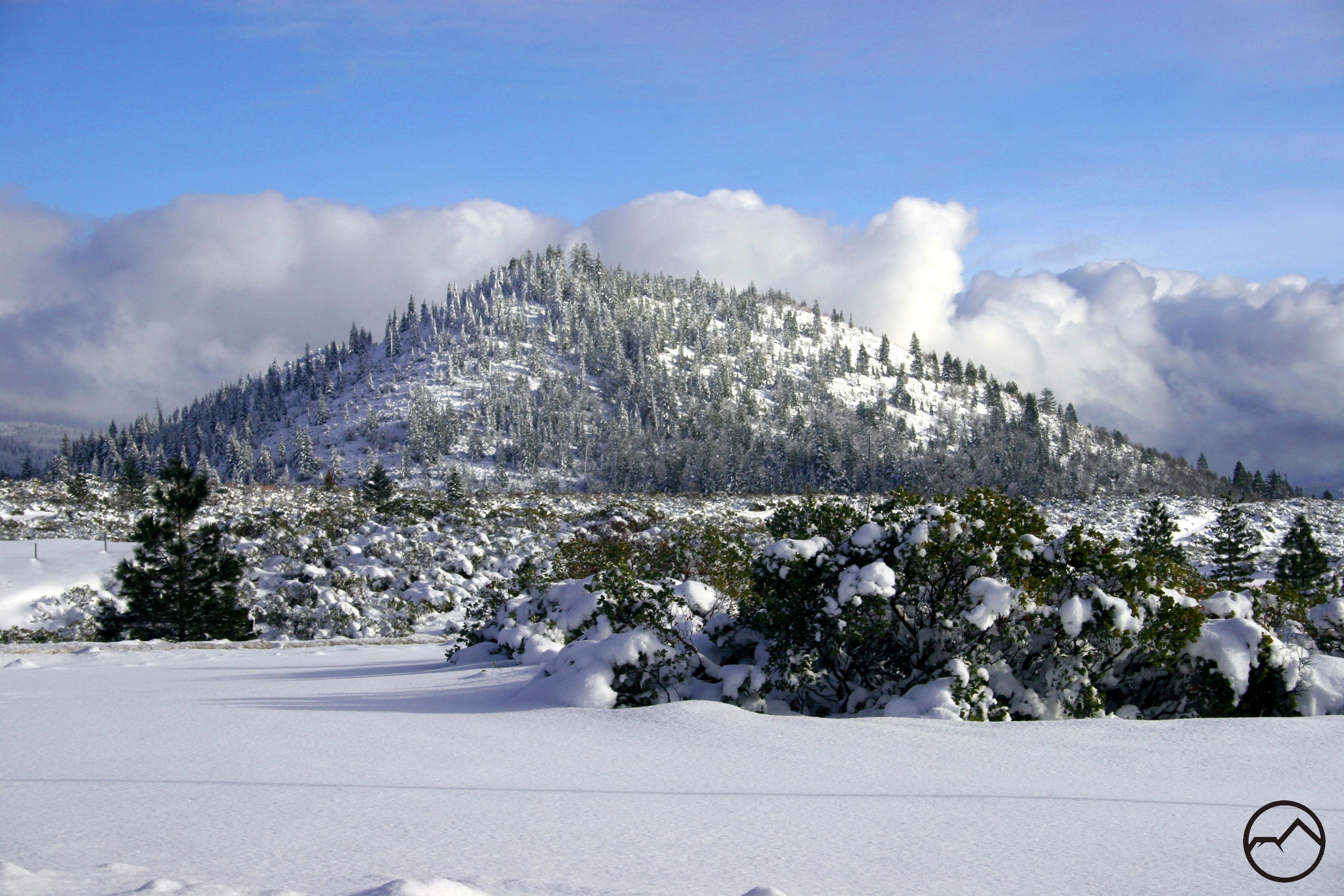
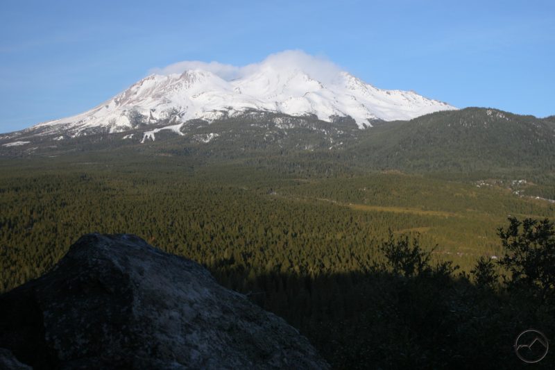
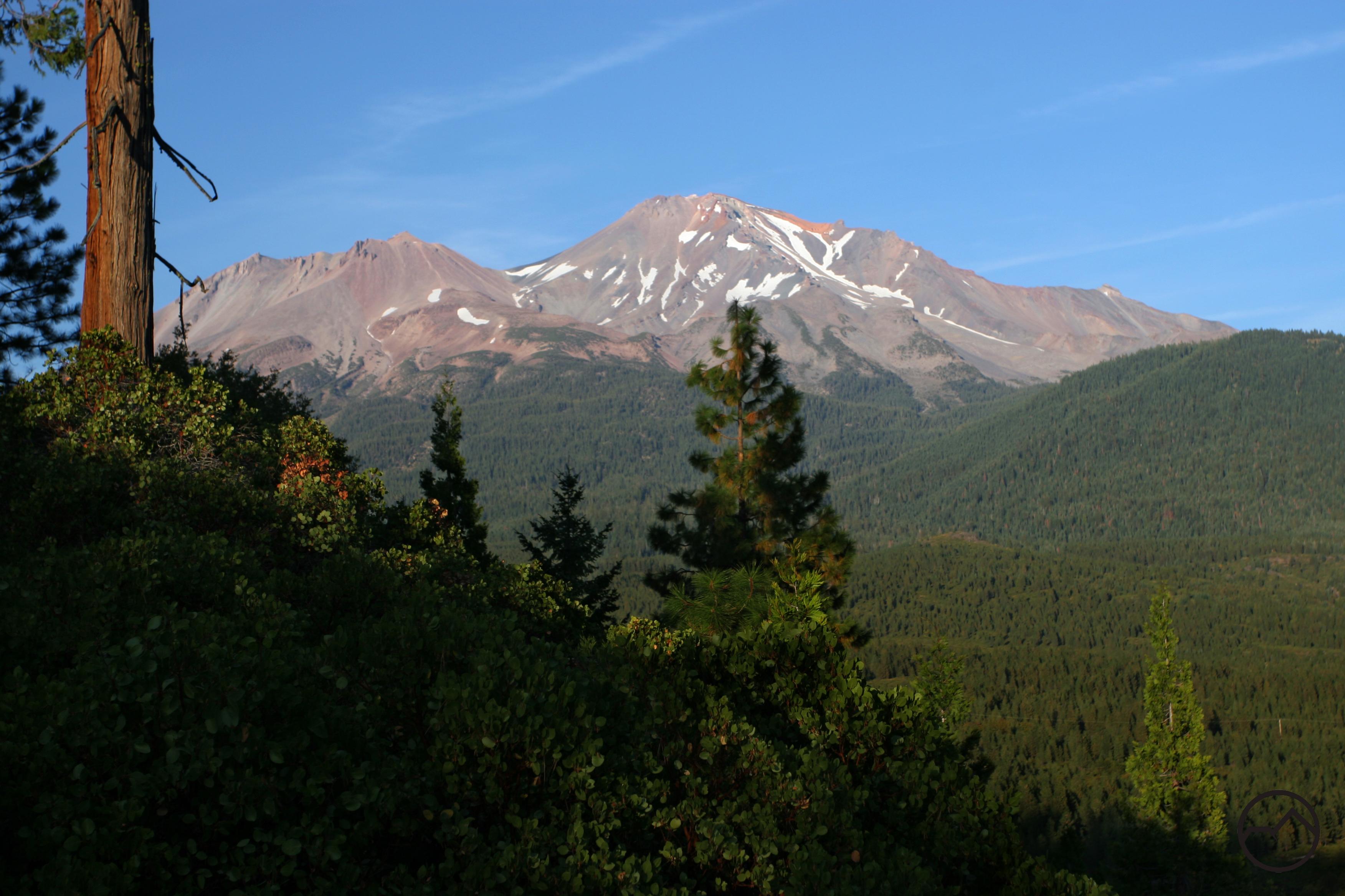
The Spring Hill Trail is one of the trails most conveniently located to Mount Shasta City. Spring Hill is visible from most of town, a seemingly younger sibling to conical Black Butte and might Mount Shasta. Although the small butte is easily viewed, many do not know that a trail now winds its way to the summit, offering great views along the way. Looking at Spring Hill, one would not expect a long trail to reach the summit. Surprisingly, the trail is almost three miles long, though it is not very steep. The length is a result of the long, lazy switchbacks that are used to lessen the trail’s grade.
Distance: 2.7 miles
Elevation Gain: 682 feet
Route Type: Loop
Directions: From 1-5 N, Take exit 738, W Lake St. In 1.6 miles, take N Mt. Shasta Blvd to Rd No 2M16. Trailhead will be on the right.
Highlights: Great forestry, dog accessible
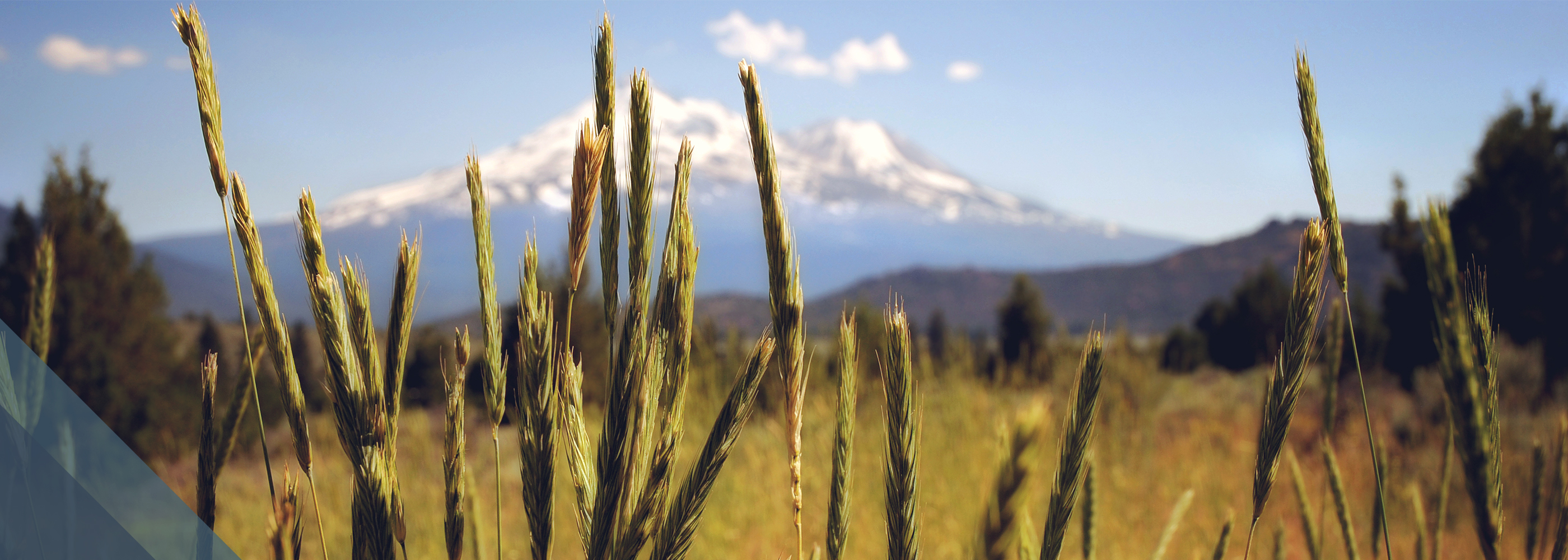
Photo Credit: Hike Mt. Shasta – Spring Hill Trail (Bubba Suess)
