


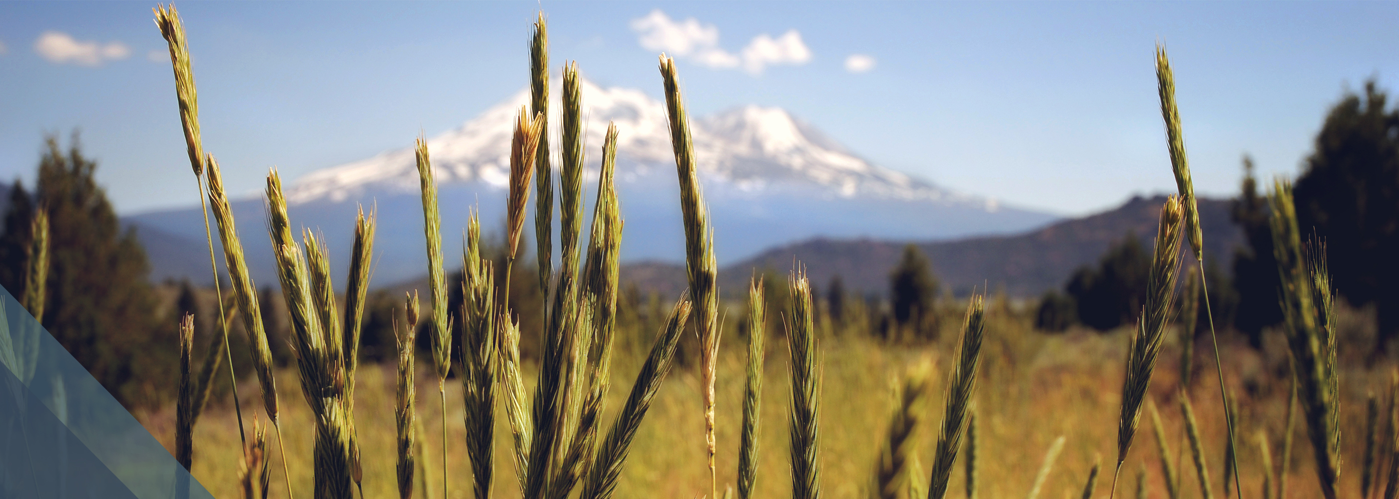
Whitney Falls Trail
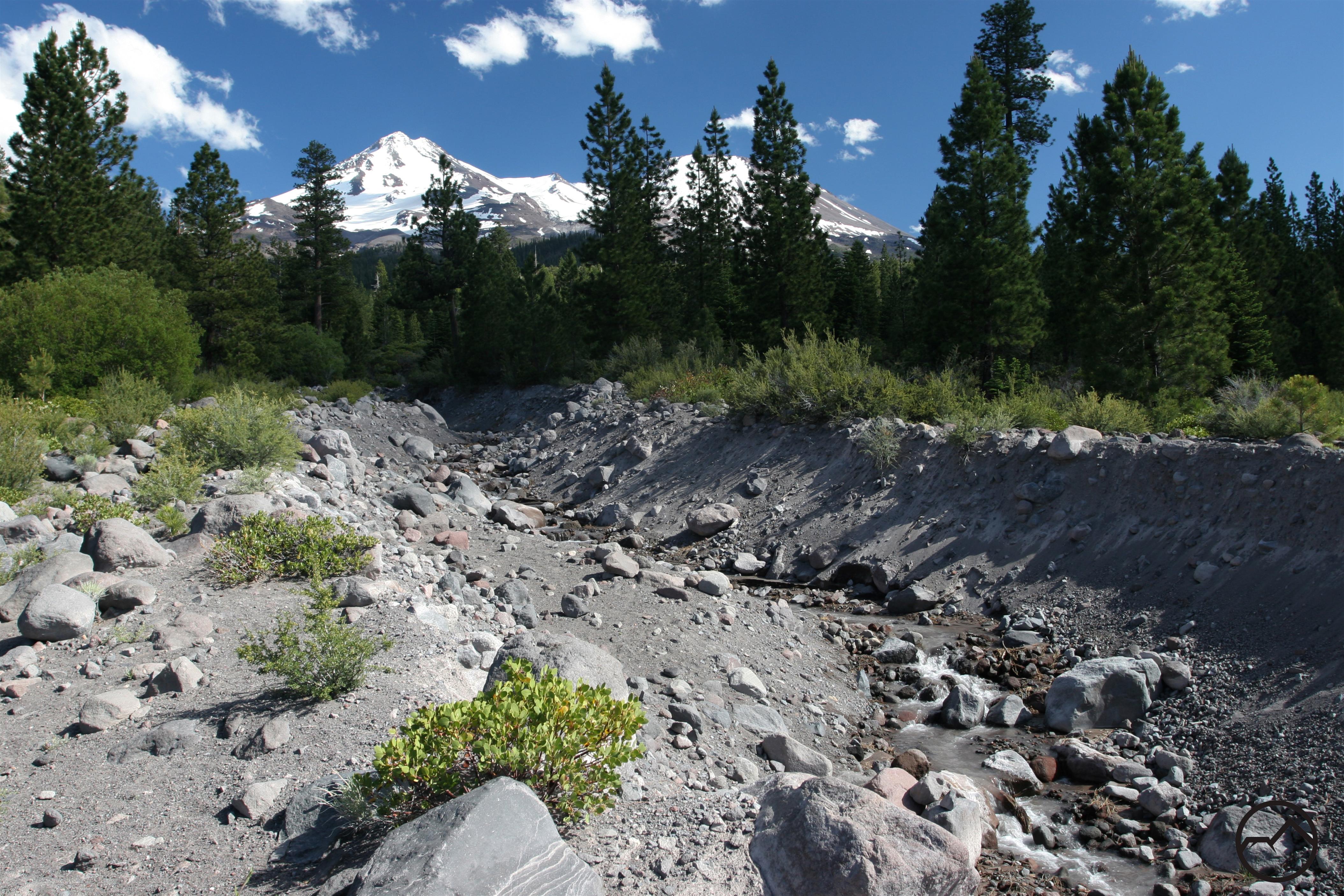
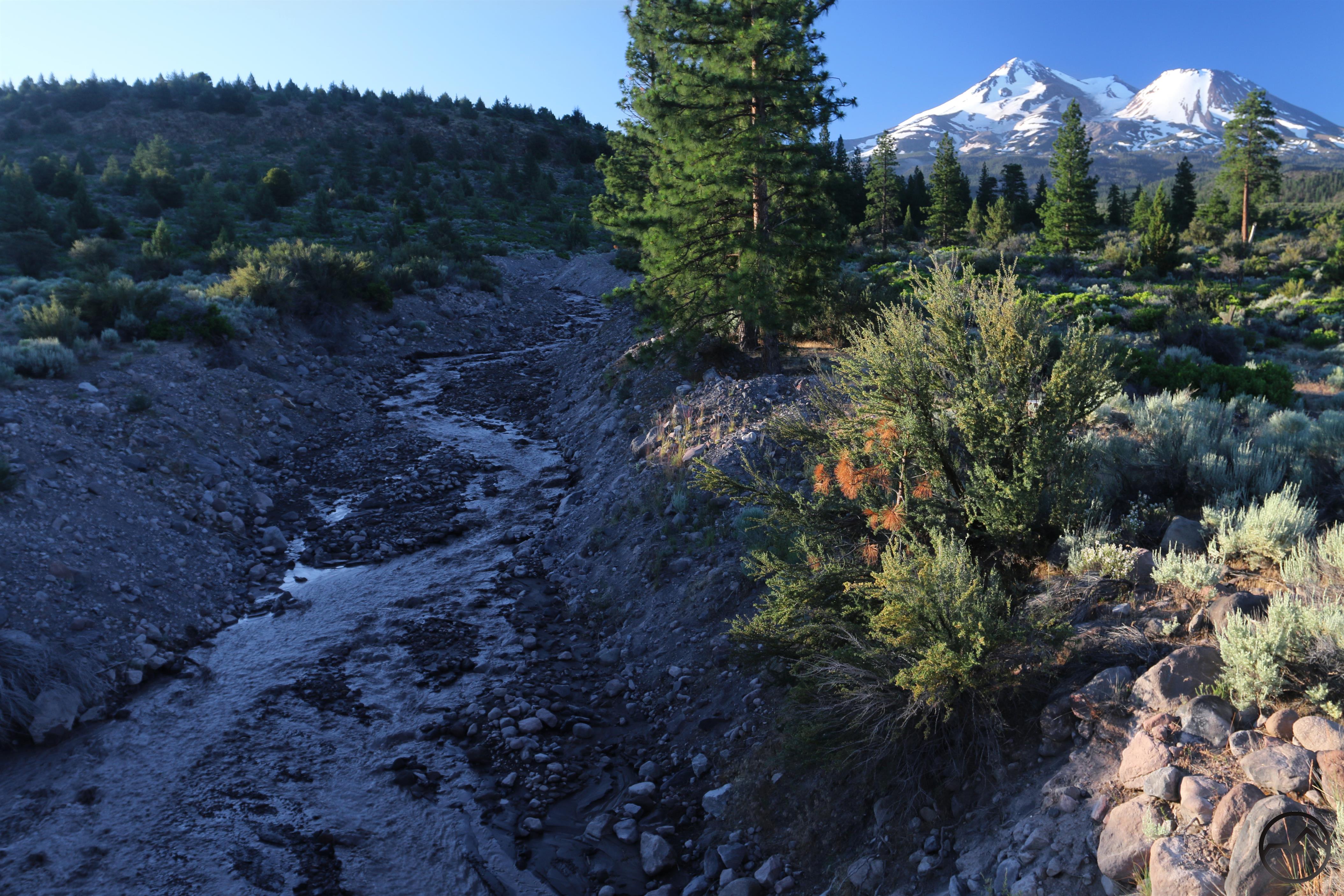
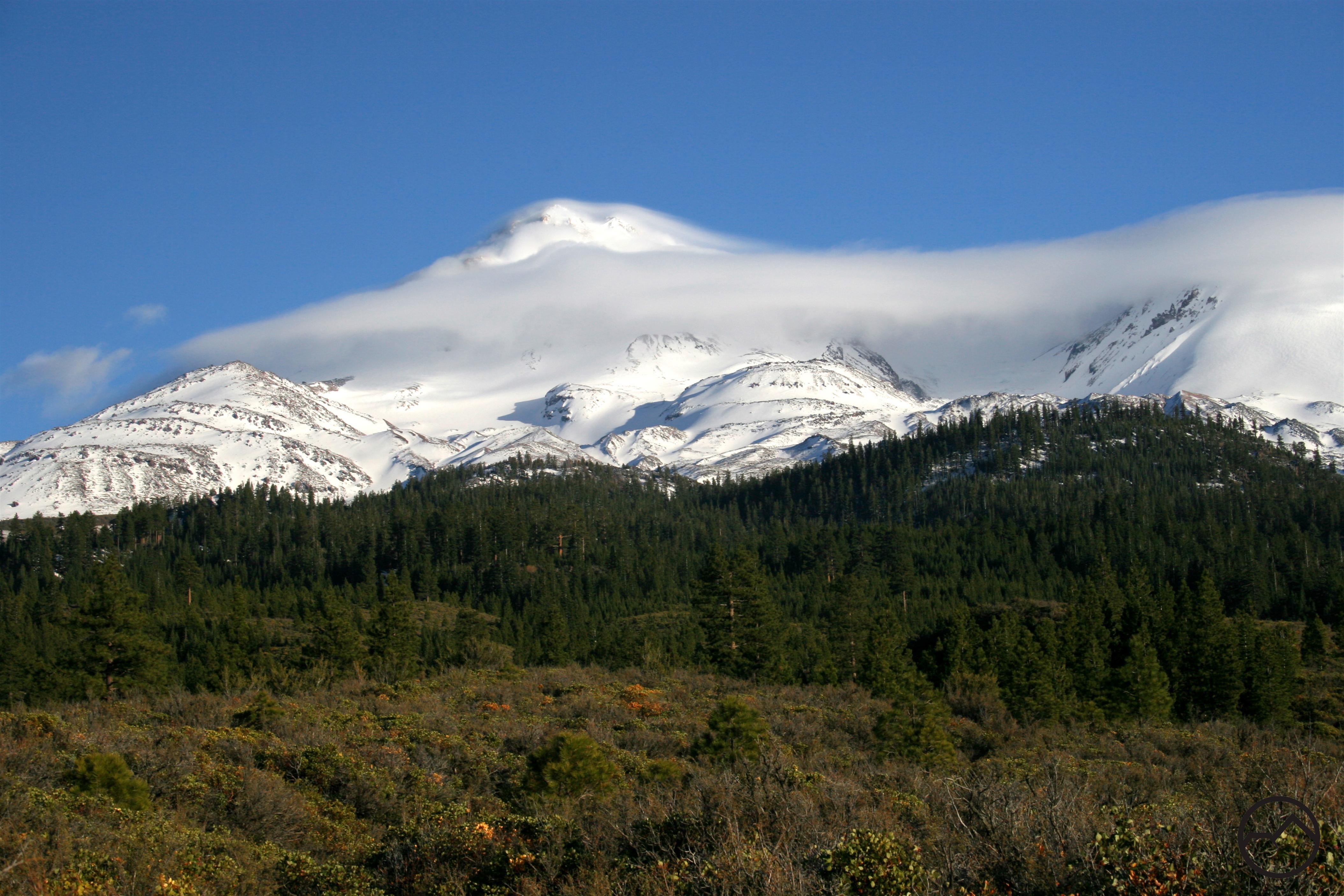
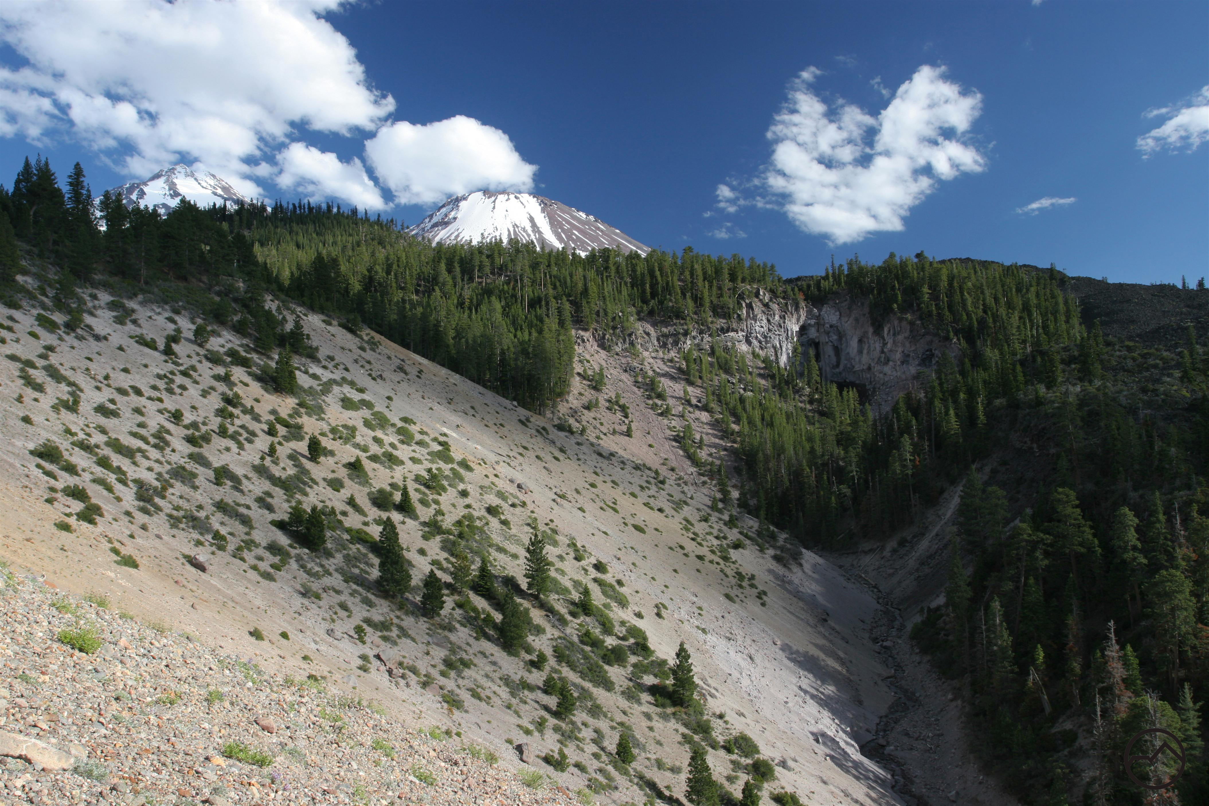
The Whitney Falls Trail is a hiking trail that leads to an overlook of Whitney Falls. There are four waterfalls on Mount Shasta, this being one. The Whitney Falls Trail has access to the lower portion of Mount Shasta, on the northwestern side. The trail was originally a way to get to Whitney Glacier if you wanted to climb it, but glacial debris flows that came down from the Whitney Glacier and went into the Whitney Creek made the trail only a hiking trail to Whitney Falls overlook.
Category: Easy
Distance: 3.2 miles
Elevation Gain: 800 feet
Route Type: Out and Back
Directions: From the beginning of Highway 97 in Weed, drive northeast for 11.8 miles. Turn right onto Bolam Road, which is also Forest Service Road 4321. This is the last major turn to the right before Highway 97 intersects County Road A12 on the left. Once on Bolam Road, proceed 0.3 miles to an intersection, staying to the right. Continue 3.7 miles to the roads end at the trailhead.
Highlights: Flowing waterfall, lava flow capped canyon
Photo Credit: Hike Mt. Shasta – Whitney Falls Trail (Bubba Suess)
