


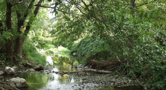
Yreka Creek Greenway
The Yreka Creek Greenway lies completely within the city limits of Yreka, California, along 5 miles of Yreka Creek and Greenhorn Creek. Yreka Creek flows south to north and Greenhorn Creek flows west to east. The location of the project is the Yreka Creek Corridor from the Belle Avenue neighborhood park at the south limits to the City Corporation Yard at the North I-5 Interchange. Greenhorn Creek from the dam to the confluence with Yreka Creek is also included.
Yreka Creek comprises about ten percent of the Shasta River basin and is the first significant tributary to the Shasta mainstem. A portion of the anadromous steelhead entering the Shasta system use Yreka Creek as spawning and juvenile rearing habitat. Four miles of Yreka Creek flows through the City of Yreka, which is the largest urban area in the Shasta River watershed and the county seat of Siskiyou County. As a result, the lower portion of Yreka Creek is a highly visible and public watershed in the Shasta Basin, having both local and regional importance.
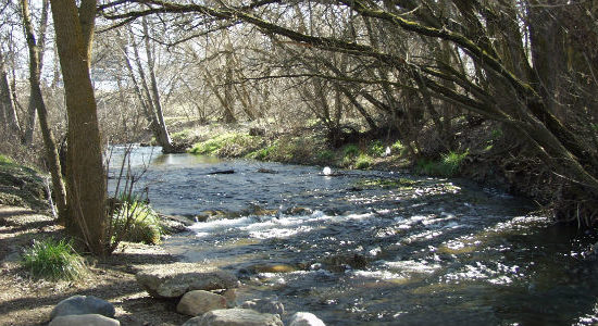
The Greenway continues to grow thanks to volunteer neighbors, groups and agencies, guided by the Yreka Creek Committee and the City of Yreka. Explore and enjoy the Greenway’s Visitor Center behind the Siskiyou County Museum, the trail heading north from the Oberlin Road Trailhead, and the trail west of Deer Creek Way.
This area is dog friendly.
Photo Credit: Siskiyou Gardens, Parks, and Greenway Association
