


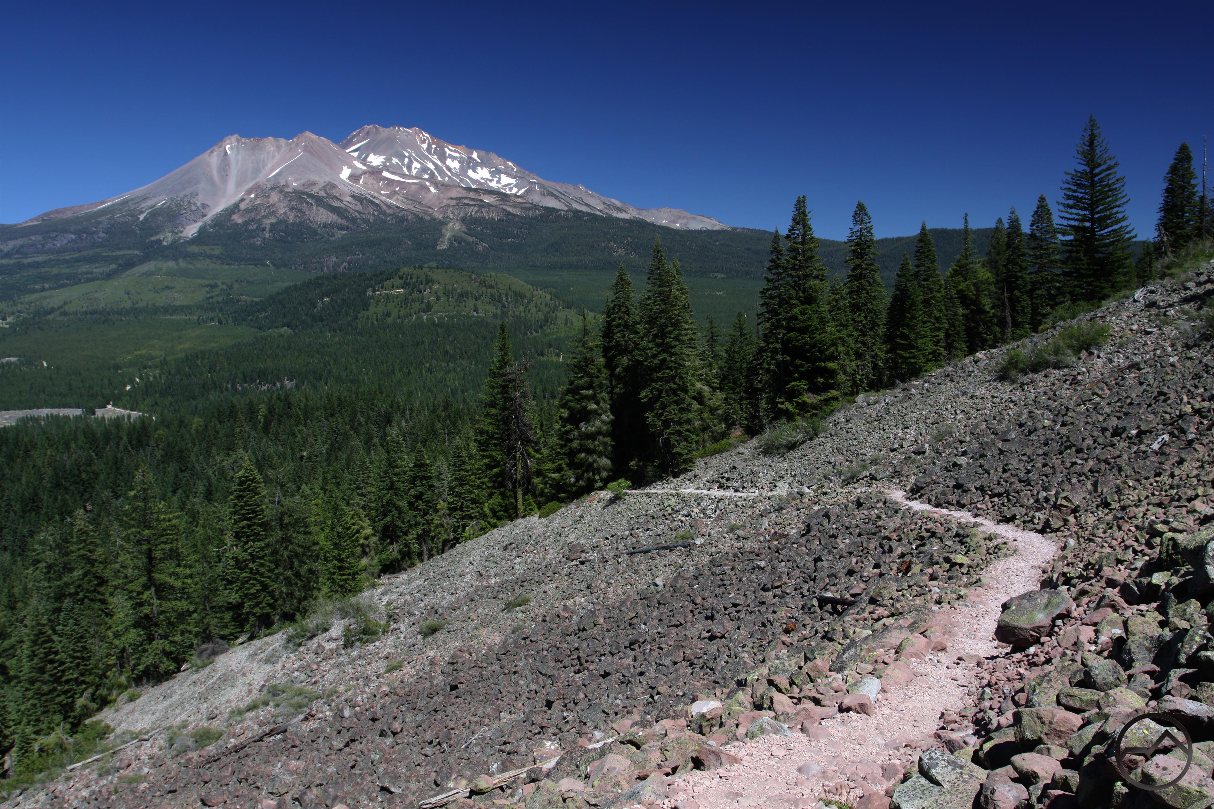
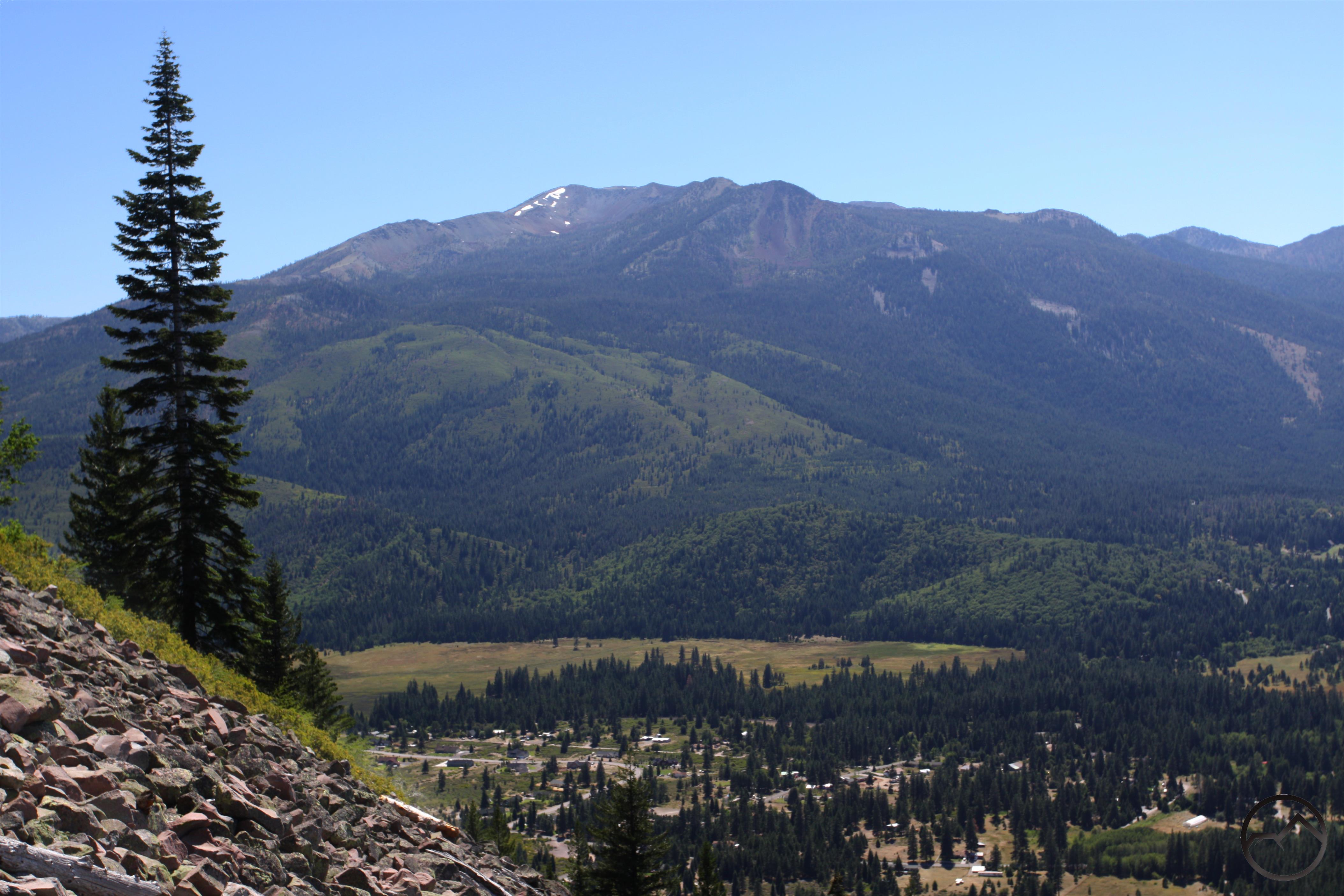
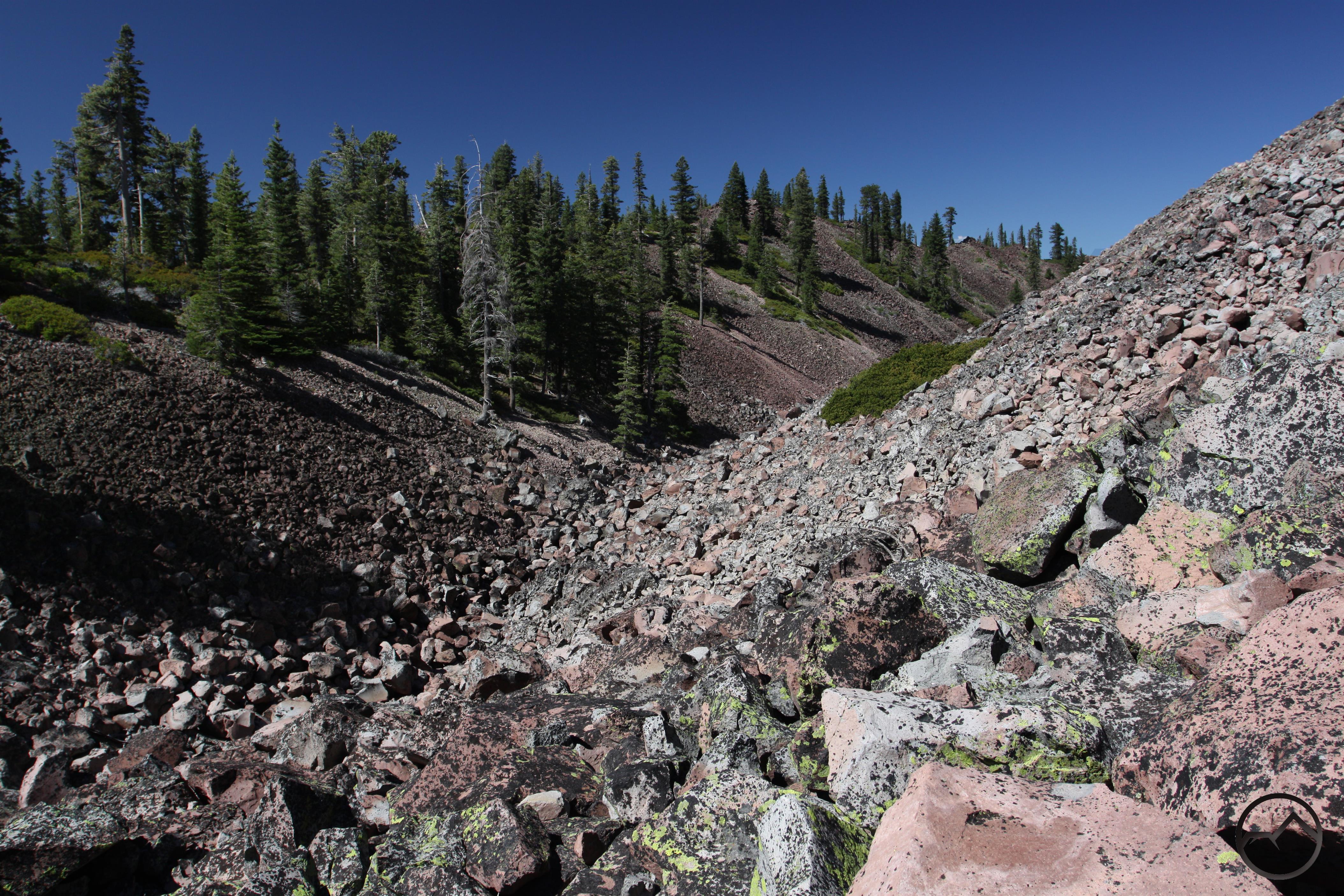
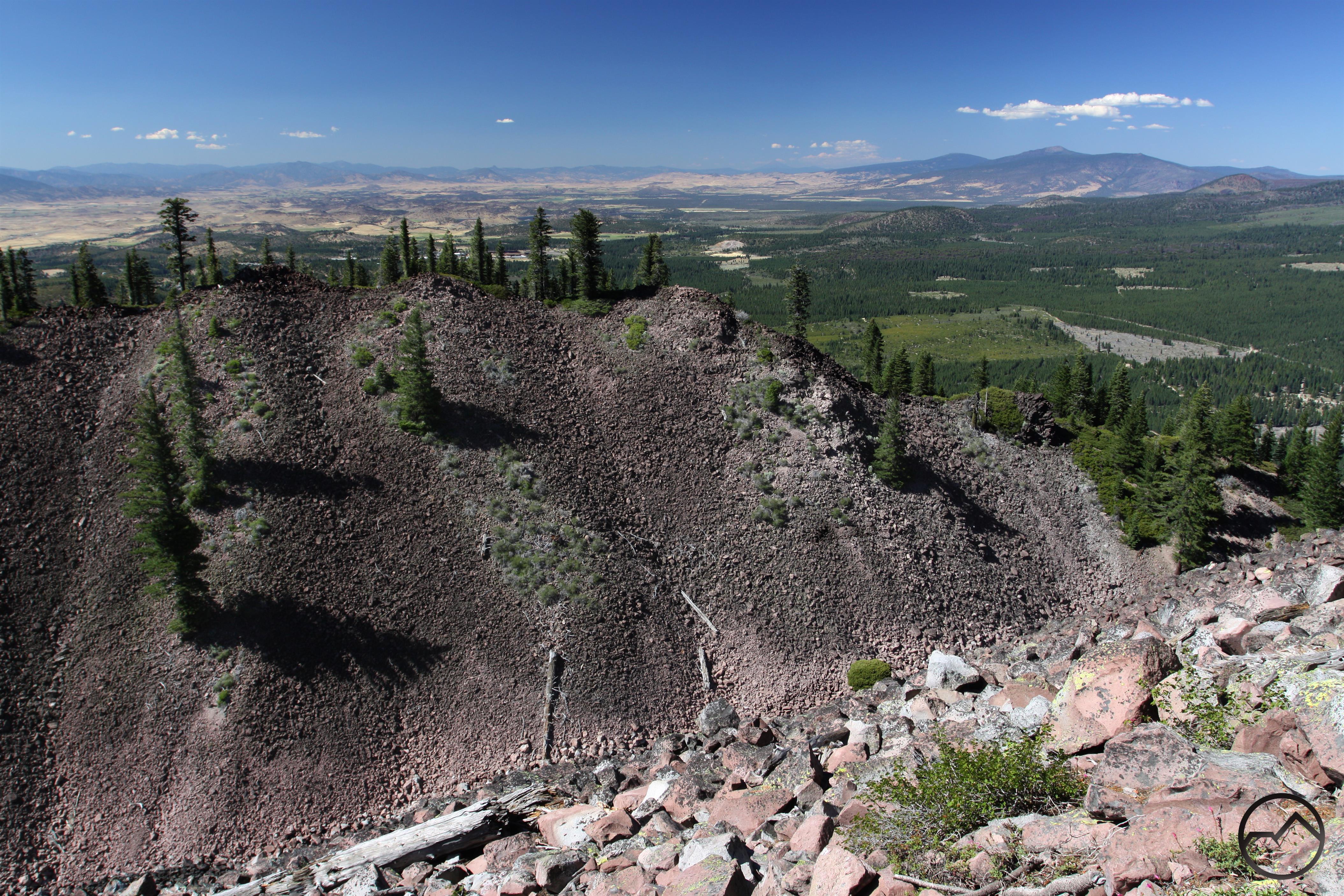
Black Butte Trail
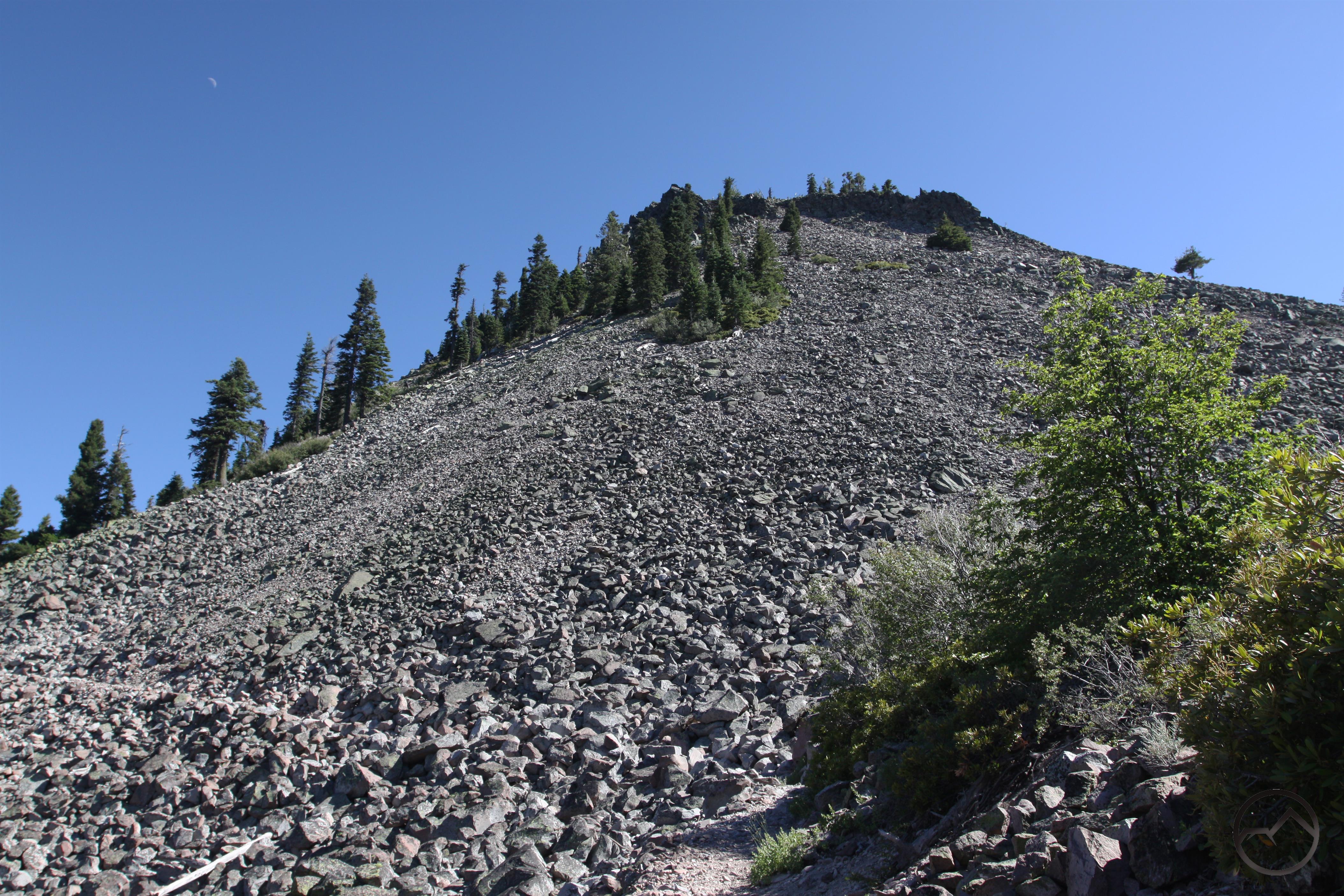
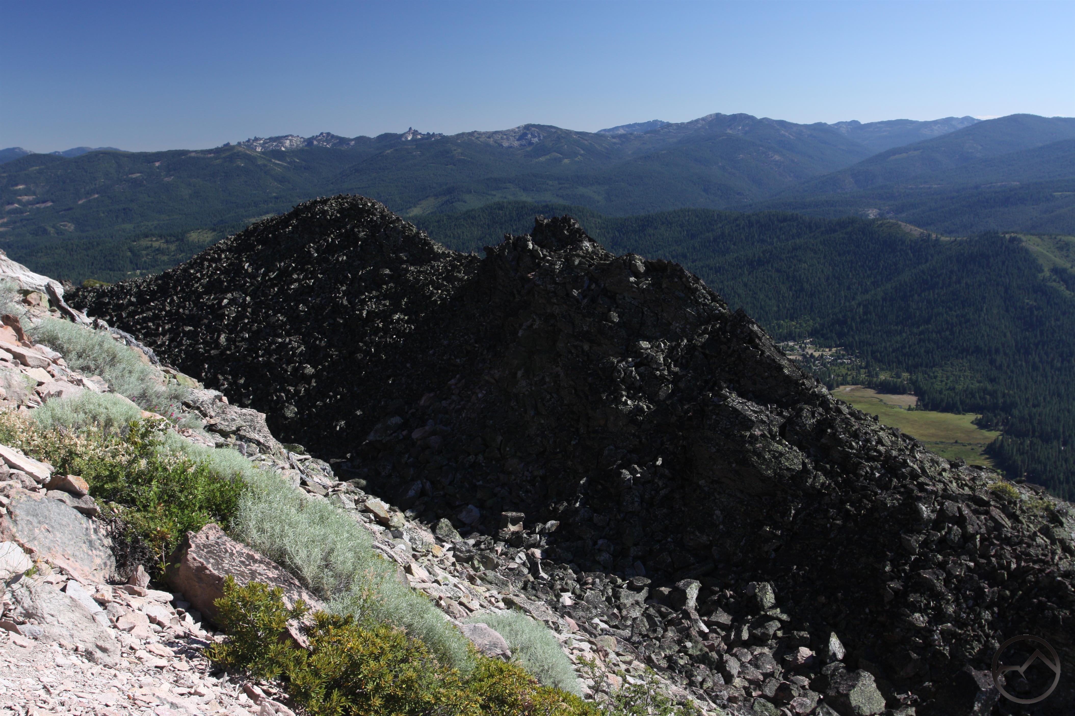
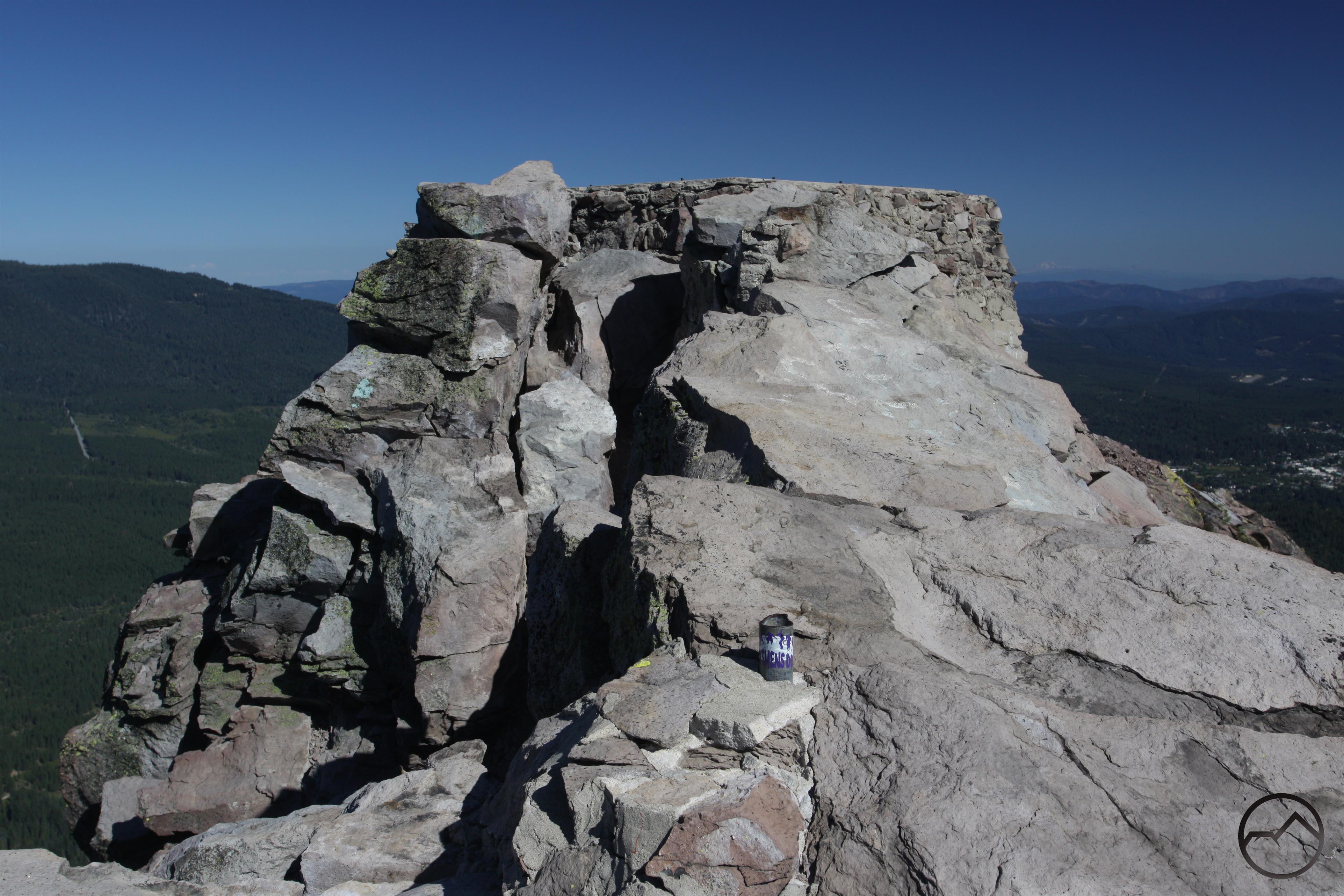
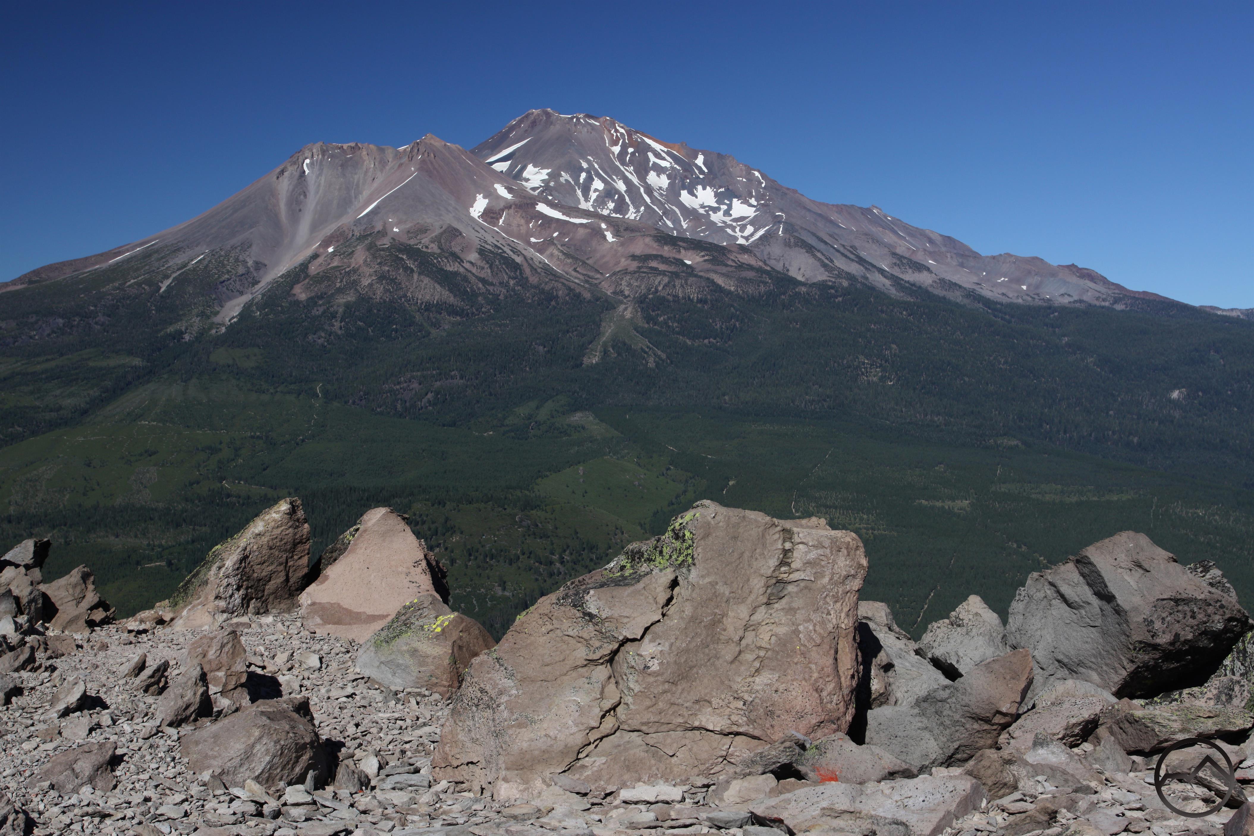
Black Butte, the largest of Mount Shasta’s satellite volcanic peaks, is itself an iconic image of the Mount Shasta area. Situated at the north end of the Strawberry Valley, the nearly perfectly conical peak is visible from almost everywhere in the Mount Shasta area. When driving north on I-5 from Mount Shasta City, Black Butte rises directly over the interstate and it seems that the freeway is destined to run right into the peak’s rocky base. Only a quick jog to the left prevents this from happening but the freeway comes within such close quarters to the base of the peak that it is easy to make out numerous interesting observations about Black Butte while just passing by at high speed in a car.
Category: Medium
Distance: 4.9 miles
Elevation Gain: 1,827 feet
Route Type: Out & Back
Directions: From 1-5 N, take exit 738 toward Central Mt. Shasta. Turn right onto W Lake St. Continue straight to stay on W Lake St. Take a slight left onto N Washington Dr. Continue straight for 2.2 miles onto County Hwy A10/N Washington Dr. Turn left onto Black Butte Trail. Then turn right toward 41N18 Rd.
Highlights: Scenic views of Mt. Shasta, easily accessible from highway
Photo Credit: Hike Mt. Shasta – Black Butte Trail (Bubba Suess)
